
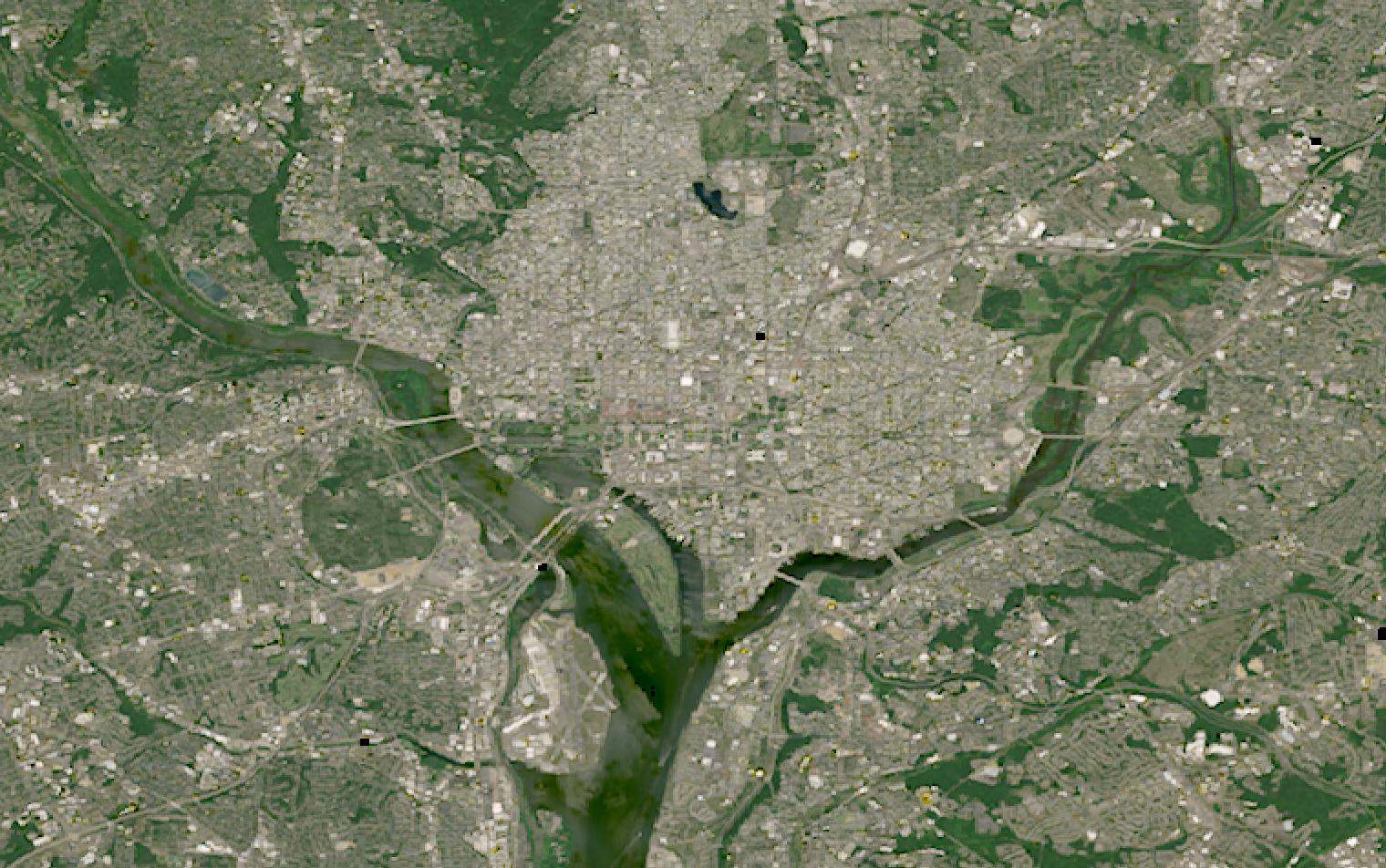
Land records and permits span a jurisdiction that field crews cannot cover at today’s pace.
Satellite data measures the jurisdiction repeatedly, turning change into evidence rather than hearsay.
This guide matches government mapping, compliance and planning tasks to the right data and provider.
Table of Contents
Key takeaways
- Government agencies get one shared basemap instead of dozens of duplicated surveys
- The Geospatial Data Act pushes agencies to integrate data from all sources, not to buy satellite imagery
- Cadastre work leans on VHR tasking, while enforcement runs on the free, repeating Sentinel-2 archive
Before any provider enters the picture, a government program has to settle what it needs from the data itself. The summary below sets out the sensors, resolution, and cadence that most civil agency mapping depends on.
| Primary sensors | VHR optical, multispectral, elevation/DEM |
|---|---|
| Working resolution | 30 cm-class VHR, 10 m open archive |
| Typical revisit | Five days with Sentinel-2 |
| Core indices | Building footprints, land cover class, elevation model |
| Entry cost | Free with Sentinel-2, or from $28 per month |
| Main constraint | Procurement outlasts data currency |
Those figures cover the baseline that most agency mapping programs run on. Programs that depart from it, through census support, environmental enforcement, or a large infrastructure project, change both the sensor mix and the cost.
How satellite data is used in government
Satellite data enters civil government programs at five distinct points, each pulling on a different sensor type and a different legal or budget driver.
National mapping, cadastre, and land administration
A national mapping agency needs one basemap covering the whole country, not just the cities a survey crew reaches each year. Vantor, rebranded from Maxar Intelligence in 2025, assembles that basemap from its own WorldView constellation at 30 cm-class resolution across 135 million square kilometers, refreshed on a rolling cycle and sharpened to better than 5 meters CE90.
Where the question is a specific parcel rather than the whole country, Airbus streams a curated optical archive through its Living Library subscription at 30 cm, 50 cm, or 1.5 meters, and a lineage running back to the first SPOT satellite in 1986 gives registries a record long enough to settle a boundary dispute.
In the United States, Ecopia AI ties that kind of imagery to a parcel-ready layer directly, linking more than 180 million building footprints to over 270 million address points, updated every year and guaranteed above 97 percent accuracy under contract.
Meeting the Geospatial Data Act’s data-integration mandate
The Geospatial Data Act of 2018, enacted within the FAA Reauthorization Act, is the federal law that shapes how U.S. civilian agencies handle location data, and it reads nothing like a satellite procurement mandate. Section 759 requires every covered agency to prepare a geospatial data strategy and to promote the integration of geospatial data from all sources.
That mandate is easy to overstate: the word “satellite” never appears in the statute, and “remote sensing” shows up exactly once, named as just one of several sources in the law’s own definition of geospatial data, alongside mapping and surveying. Section 759C separately permits, but does not require, agencies to rely on the private sector “to the maximum extent practical” for that data.
The Department of Defense and parts of the intelligence community are excluded from the covered-agency definition entirely, so programs inside that boundary follow a different playbook, covered in our guide to satellite imagery for defense. Everyone else falls under the National Spatial Data Infrastructure, the law’s own framework for sharing geospatial data across federal, state, tribal, and local governments.
Census enumeration and demographic statistics
Between census cycles, a national statistics agency still needs to know where people live now, and a stale building inventory undercounts whichever areas are growing fastest. Vantor’s own government use cases list census work alongside mapping and land-use monitoring, distributed through a program that already reaches more than a million government users.
Ecopia AI approaches the same problem from the address point rather than the jurisdiction boundary. Its Building-Based Geocoding product ties more than 270 million U.S. address points to over 180 million building footprints, refreshed every year under a contractually guaranteed accuracy above 97 percent, giving a statistics office a rooftop-level check on new construction.
Environmental and land-use enforcement
Environmental and land-use regulators spend most of their time proving a violation happened before an inspector ever arrived, whether that is a wetland filled in without a permit or a quarry that crept past its boundary. Sentinel Hub’s access to the open Sentinel-2 and Landsat archives lets an agency pull a time series for one parcel back to 2015, instead of waiting on a newly tasked image once the damage is already done.
Where the violation is still active, a faster revisit closes the gap between the act and the alert. Planet’s SuperDove constellation revisits most of the world’s land surface near-daily at 3 to 3.7 meter resolution, frequent enough to flag new grading or clearing inside a restricted area within days rather than at the next scheduled survey.
Infrastructure and urban growth planning
Public works departments planning a road, a storm sewer, or a new district need elevation data before they need another photograph, since drainage design and cut-and-fill work both start from the shape of the ground. Airbus derives its WorldDEM Neo product from its own radar satellites at 5 meter posting and 1.4 meter vertical accuracy, covering most terrain modeling work without a dedicated survey flight.
Vantor’s Vivid Terrain reaches a similar goal from its own optical stereo archive, deriving 3 meter accuracy in all dimensions across more than 100 million square kilometers at 50 cm resolution, useful for a corridor study without commissioning new elevation collection. Tracking how fast a district is building out is a change-detection question instead, one Ecopia AI’s annual update cycle answers directly.
What satellite data you need for government
Government tasks span mapping, enforcement, and planning, and each pulls on a different sensor modality, resolution, and revisit frequency. The table below maps each task to the data specifications it needs.
| Task | Sensor modality | Resolution | Revisit | Key index / band |
|---|---|---|---|---|
| National basemap and mapping | Multispectral optical | 30 cm archive, 10 m open data | Rolling annual refresh | Orthomosaic, building footprints |
| Cadastral boundary verification | Very high resolution optical | 0.3-0.5 m | On demand, archive-backed | Parcel change comparison |
| Census and address verification | Optical-derived building vectors | Building-level | Annual | Address points, footprint count |
| Environmental and land-use enforcement | Multispectral optical, open archive | 10-30 m | Five days | NDVI, land cover change |
| Active violation and construction alerts | Multispectral optical | 3-3.7 m | Near-daily | Change detection |
| Infrastructure and terrain planning | Radar-derived DEM, stereo optical | 5 m DEM, 50 cm optical | On demand | Elevation model |
| Urban growth and permit tracking | Optical-derived vector layers | Building-level | Annual | Footprint change, land cover class |
With data needs mapped, the next step is matching them to providers. The section below covers the most relevant options for government programs, from basemap operators to compliance-ready data platforms.
Satellite data providers for government
The providers below have documented government use cases and data products that map to the tasks in the table above. The mix spans satellite operators, a data platform, an analytics platform, and a multi-source access point.
| Provider | Type | Best for | Key government spec | Entry point |
|---|---|---|---|---|
| Vantor | Optical satellite operator | Nationwide 30 cm basemap coverage | GEGD reaches 1M+ government users | Quote or UP42 marketplace |
| Airbus | Satellite operator | On-demand elevation and archive | WorldDEM Neo at 5 m, 1.4 m LE90 | Quote or UP42 marketplace |
| Planet | Satellite operator | Near-daily enforcement monitoring | PlanetScope at 3-3.7 m, near-daily | Imagery from $2,700 per year |
| Sentinel Hub | Data platform | Open-archive compliance evidence | Sentinel-2 archive since 2015 | From $28 per month |
| Ecopia AI | Analytics platform | Building and address-point data | 270M+ US address points, annual | Data Portal by request |
| Sfera Technologies | Multi-source access point | Several sensor types, one contract | Optical, SAR, and hyperspectral | From $4 per km² optical |
For a ranked comparison across the wider optical and archive market, our guide to the best satellite imagery providers covers the full field in more depth than a single agency program usually needs.
How to choose satellite data for government
For public buyers I would start with the data-rights question rather than the sensor. In my experience licensing decides whether a finished map can be published, shared with another agency, or handed to a contractor, and a restrictive licence quietly makes half the intended use impossible.
The first question is what the deliverable actually is. A statewide basemap, a piece of enforcement evidence, and a terrain model for road design are three different products built from three different sensor types, and a vendor strong at one is rarely the cheapest route to another.
Coverage cadence decides the next choice. A program that needs to watch the same jurisdiction continuously, for permit compliance or land-use change, is better served by a subscription or an open archive than by ordering fresh imagery scene by scene. A one-off project, a corridor study or a single disputed parcel, fits a tasked order or an archive pull instead.
Data rights carry more weight in government work than almost anywhere else, since a map an agency buys often needs to move to another agency, a contractor, or the public record. Confirm that a provider’s standard license covers cross-agency sharing and public redistribution before a dataset becomes part of an official record.
None of this closes the door on free data. Landsat, Sentinel-2, and most national aerial-survey programs already cover the bulk of what a routine mapping or land-cover program needs, at no cost. Commercial imagery earns its place where resolution, a specific capture date, or the right to redistribute a derived map is the actual requirement, not simply a wish for a sharper picture.
Procurement adds a constraint of its own. A public-sector contract can take a budget cycle or two to close, which is longer than some commercial datasets stay current, so a program should check a vendor’s refresh cadence against its own purchasing calendar before signing a multi-year agreement.
Verdict
Government mapping is the vertical where the regulatory story is about data governance, not about a mandate to buy satellite imagery. The Geospatial Data Act pushes covered agencies toward a shared, integrated geospatial data strategy and explicitly allows the private sector to help meet it, but it never requires a purchase. What decides the shortlist is the deliverable a program actually owes someone: a basemap, a case file, or a terrain model.
Agencies maintaining a national or statewide basemap should start with Vantor’s Vivid Mosaic or Airbus’s Living Library, both built for rolling refresh rather than a single order. Statistics offices and land registries get more from Ecopia AI’s building and address-point layers than from raw imagery, and compliance teams building an evidence record should lean on Sentinel Hub’s open archive or Planet’s near-daily revisit, depending on how far back the record needs to reach.
Programs that touch several of these needs at once, a basemap refresh, an elevation model, and an enforcement archive, otherwise end up managing sensor types across several separate vendors. Sfera Technologies packages optical and SAR under one contract, worth a look before a program signs three separate agreements to cover what one access point could. For a full ranked view of the optical imagery market, see our satellite imagery providers guide.
Frequently asked questions
Below are answers to the questions government buyers most often ask about satellite data. Each answer points to the section where the fuller explanation lives.
What is the Geospatial Data Act, and does it require agencies to buy satellite imagery?
The Geospatial Data Act of 2018 does not require a purchase of any kind. It requires covered federal agencies to publish a geospatial data strategy and integrate data from all sources, and it separately permits, but does not require, private-sector use to help meet that goal. Defense and intelligence agencies, though, are excluded from the requirement entirely. The law is covered in “How satellite data is used in government“.
How is satellite data used in government?
Civil agencies use it for five jobs: national and cadastral mapping, meeting the Geospatial Data Act’s data-sharing mandate, census and address verification, environmental enforcement, and infrastructure planning. Each of those tasks pulls on a different sensor type and cadence. The detail is in “How satellite data is used in government“.
What resolution does a government mapping program actually need?
A national basemap runs on 30 cm-class imagery or a 10 to 30 meter open archive, cadastral boundary work needs 0.3 to 0.5 meters, and census-level building work runs at the scale of an individual structure. Terrain and drainage modeling, by contrast, runs on a 5-meter elevation model instead of an image at all. The full mapping is in “What satellite data you need for government“.
Can satellite data replace a field survey for land administration?
Not entirely. Satellite imagery and derived footprint layers narrow down where a change happened and flag it for review, but a legal boundary determination still runs through a licensed surveyor in most jurisdictions. That limit is covered in “How to choose satellite data for government“.
Does the Geospatial Data Act apply to state and local agencies?
Not directly, since Section 759’s covered-agency duties fall on federal bodies, though the law’s own National Spatial Data Infrastructure is defined to span federal, state, tribal, and local governments plus the private sector. State and local programs described in this guide sit inside that wider infrastructure without carrying the federal compliance duty itself. More on the law is in “How satellite data is used in government“.
Which satellite data providers are best for government programs?
Vantor and Airbus lead on very high-resolution basemap and archive coverage, Ecopia AI supplies building and address-point data for census and land administration, and Sentinel Hub and Planet cover open-archive and near-daily monitoring for enforcement. A single multi-source access point suits programs that need several sensor types under one contract instead. Provider details are in “Satellite data providers for government“.

My passions are Earth Observation and Satellites, and my profession is Data Analysis. I combine both within ObservationData.com to show you the use cases of Earth Observation, to help you find the right provider, and to share your experiences.
