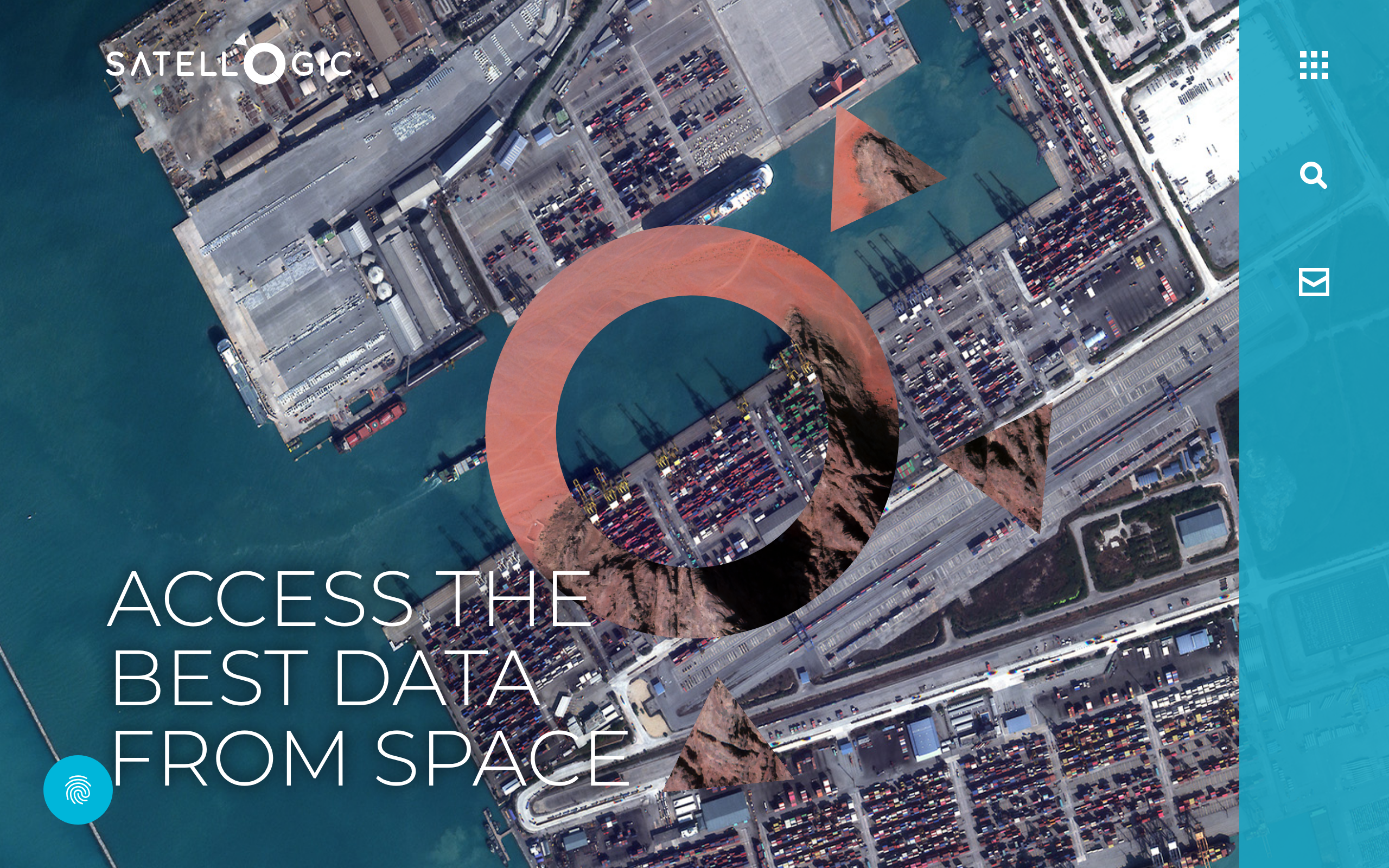
 Satellogic is a US-listed satellite operator running its own sub-meter optical constellation, originally founded in Argentina, and built around the idea that high-resolution imagery should be affordable enough to scale.
The company is a real, publicly traded business (NASDAQ: SATL), backed by a track record of sovereign contracts and a growing defense customer base, making the question one of fit rather than whether it is an established operator.
This review breaks down Satellogic’s sensors, published pricing, and the caveats that matter most, so you can judge whether it belongs in your data stack.
Table of Contents
Key Takeaways
- Satellogic fits buyers who need sub-meter optical tasking at a transparent, published per-km² rate with no subscription lock-in
- The standout differentiator is transparent pricing combined with on-board hyperspectral in every satellite of the constellation
- After weighing all the strengths and limitations, the net caveat is a smaller operational fleet than the launch count implies
About Satellogic
Satellogic vertically integrates its own satellite design, manufacturing, and imaging operations, which lets it publish explicit per-area rates that are unusual for sub-meter optical operators. The key facts below come from Satellogic’s own published pages as of May 2026.
| Name | Satellogic |
|---|---|
| Website | satellogic.com |
| Legal name | Satellogic Inc. |
| Address | 210 Delburg St., Davidson, NC 28036, USA |
| Founded | 2010 |
| Ownership | Public (NASDAQ: SATL) |
| Leadership | Emiliano Kargieman (CEO and Founder); Gerardo Richarte (CAO and Founder); Alan Kharsansky (CTO) |
| Products & data | Multispectral imagery (50 cm SR / 70 cm native, 4-band); hyperspectral imagery (32 VNIR bands, 25 m); Aleph Observer persistent monitoring; Constellation-as-a-Service; Space Systems sovereign satellite purchase |
| Pricing | Archive from $4/km²; tasking from $8/km²; rush tasking $23/km²; Space Systems from <$10M (quote-based) |
| Languages | English, Spanish |
Satellogic launched its first prototype satellite in 2013 and its first operational NewSat pair in 2016. The company went public in January 2022 via a SPAC merger with CF Acquisition Corp. V, sponsored by Cantor Fitzgerald, and now trades on NASDAQ as SATL. Its current primary US address is in Davidson, NC, with principal operations in Montevideo, Buenos Aires, Cordoba, and Barcelona.
Named customers on Satellogic’s own pages include the Government of Albania (3-year Constellation-as-a-Service agreement), CEiiA and Portugal (two NewSat Mark V satellites, $18M, signed January 2026), and an undisclosed sovereign defense customer that took ownership of an in-orbit NewSat for $12M in a deal announced April 2026. An international defense customer signed a separate $18M Aleph Observer persistent monitoring contract in May 2026.
Is Satellogic legit?
In my analysis, this is an operating company with a real constellation, published financials, and multi-year government contracts. The more useful question for a buyer is whether Satellogic’s specific architecture and the nuances of its fleet size match what your program actually needs.
Ownership and funding
Satellogic Inc. is publicly traded on NASDAQ (ticker: SATL), which means audited financials are available through SEC filings and the investor relations portal at investors.satellogic.com. The SPAC listing in January 2022 placed the initial headline valuation at approximately $850M. As a NASDAQ-listed company, Satellogic files quarterly reports that give enterprise and government buyers financial transparency most private EO operators cannot match.
The holding company was originally incorporated under British Virgin Islands law and domesticated to become a Delaware corporation in March 2025, with principal offices spanning the Americas and Europe. The founding team of Emiliano Kargieman and Gerardo Richarte remains active in CEO and CAO roles, which is a continuity signal that larger institutional buyers tend to weigh positively.
Track record and customers
Satellogic has been launching satellites continuously since 2016, with 57 total launched as of March 2026 via a mix of SpaceX Transporter rideshare missions and earlier dedicated launches. The company has signed at least four significant named contracts in 2026 alone, spanning sovereign satellite ownership transfer, persistent monitoring subscriptions, and full Space Systems delivery, and the breadth of that 2026 deal flow is a meaningful indicator that operational delivery is meeting customer expectations.
The Albania CaaS agreement and the Portugal two-satellite deal represent distinct customer categories: a recurring monitoring program and a sovereign hardware ownership transaction, respectively. That range suggests Satellogic can service both recurring data buyers and one-time sovereign acquisition programs.
Compliance and data rights
Satellogic’s multispectral imagery is delivered with digital signing using an RSA 4096-bit key, which covers content integrity and authenticity at the product level. The published pricing page describes EULA tiers that control redistribution rights: standard, Government (+25% uplift), Government Plus (+50%), and Public Release (+200%). These structured EULA tiers signal that redistribution and sharing rights are actively managed rather than left ambiguous.
The NewSat Mark V architecture is built around a non-ITAR design, which the Space Systems page explicitly cites as enabling global sovereign sales without US export licensing constraints. For buyers outside the US working with government or defense clients, the non-ITAR architecture directly removes a procurement friction that limits several competing platforms.
Data and capabilities
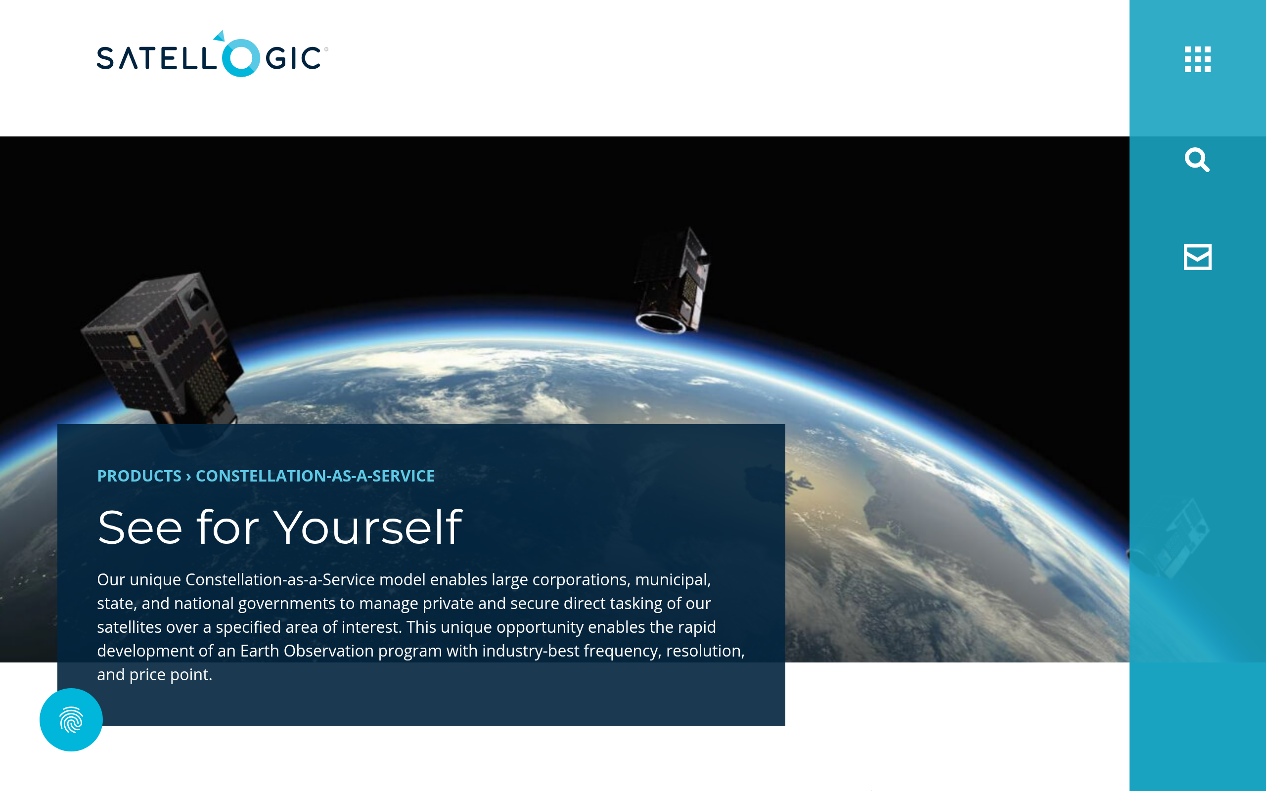
Each NewSat in the Aleph-1 constellation carries both a multispectral camera and a hyperspectral camera in a single spacecraft, which is the architecture detail that most distinguishes Satellogic from peers offering only one sensor type per satellite. The platform layer that ties ordering to delivery is the Aleph self-service UI and API, with delivery to either the Aleph interface or an AWS S3 bucket.
Multispectral imagery
The NewSat Mark V multispectral camera collects Blue, Green, Red, and NIR bands at 70 cm native GSD near nadir (or 99 cm at higher off-nadir angles), with patented super-resolution post-processing delivering a 50 cm L1 Ortho product (L1D_SR). Three imaging modes are available: Spotlight, Stripes, and Oblique Stripes, all with a 5-6.5 km swath at nadir. Geolocation accuracy is 10 m CE90 for the orthorectified product, sufficient for construction, infrastructure, and precision agriculture applications.
Product levels run from L1 Basic (geocorrected, TOA and visual output) to L1 Ortho Ready (adds RPC files for user-side orthorectification) to the fully processed L1 Ortho at 50 cm or 70 cm SR. All products ship in WGS84 with ISO and STAC-compatible metadata. The constellation roadmap links growing satellite count to progressively higher resolution and revisit frequency over any point of interest.
Hyperspectral imagery
The on-board hyperspectral payload covers 32 VNIR bands from 483 to 831 nm at 25 m native GSD at nadir, with a swath of up to 145 km. Radiometric output is Top of Atmosphere Reflectance, derived from lab and on-orbit vicarious calibrations. Having hyperspectral capability on the same spacecraft as a sub-meter optical imager means dual-modality collection in a single tasking pass, with no separate scheduling against a different satellite.
Hyperspectral pricing is not listed on the self-serve page and requires a sales conversation. Satellogic references the capability on its government and defense page in the context of algal bloom and marine hazard monitoring, which points to a buyer profile where spectral chemistry matters as much as spatial resolution.
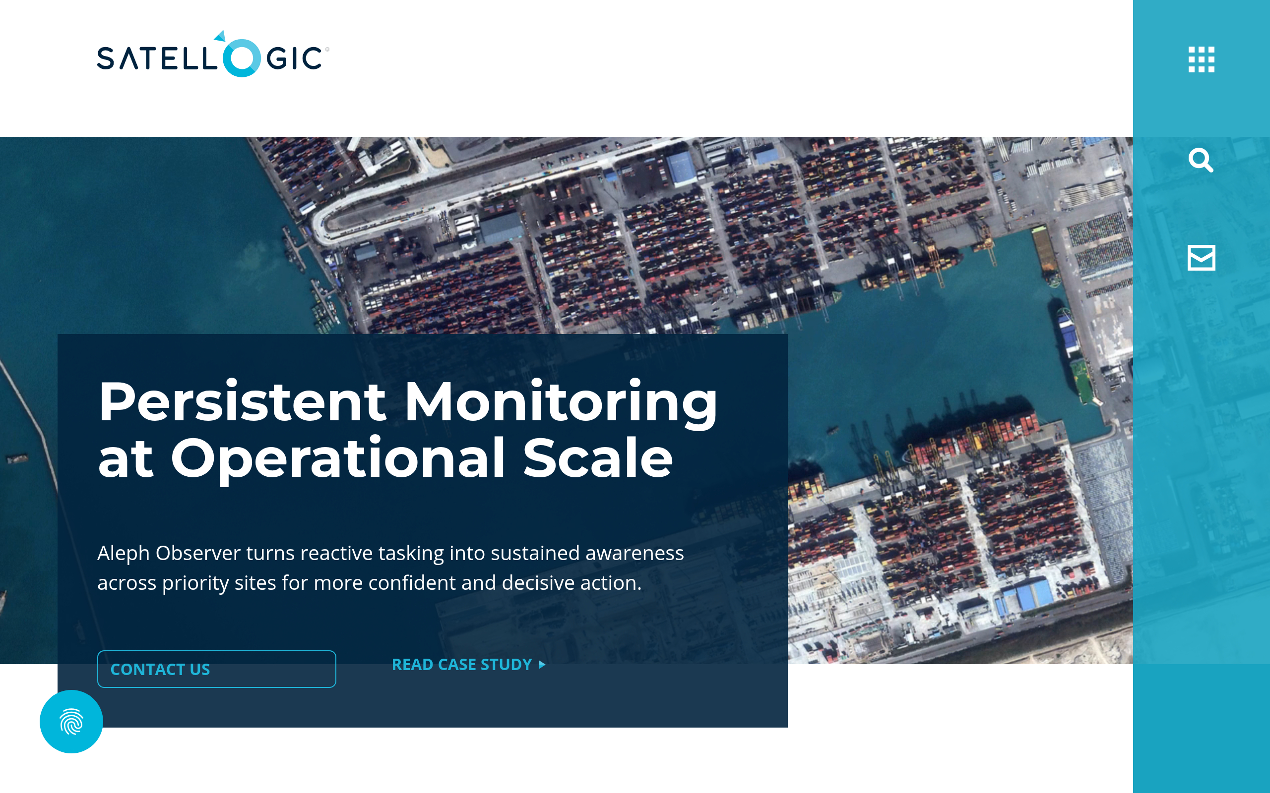
Aleph Observer and platform access
Aleph Observer is Satellogic’s persistent monitoring subscription product, designed to deliver daily high-resolution coverage across hundreds of customer-designated sites. The May 2026 $18M defense contract confirms the product is operationally deployed and attracting institutional defense customers at scale.
The Aleph self-service platform and API handle standard tasking and archive orders with a documented tasking-to-delivery time of under 6 hours for L1B on the standard pipeline, reducible to under 3 hours on the boosted configuration via a sales arrangement. For the fully processed L1D_SR orthorectified product, delivery runs 24-72 hours depending on order type, and all outputs are digitally signed using an RSA 4096-bit key.
Pricing
Satellogic publishes explicit per-km² prices on its multispectral imagery page, which stands out in the sub-meter optical segment where quote-based pricing is the norm. The table below maps the published rates as of May 2026; as with any EO operator, prices are subject to change. The base rates apply to standard commercial use, and EULA uplifts add 25% to 200% depending on whether imagery is shared with government partners or released publicly.
| Product | Price | Minimum | Delivery (L1B / L1D_SR) |
|---|---|---|---|
| Archive Orders | $4/km² | 1 tile (~16 km²) | 1 hr (available) / 12 hrs (processing required) |
| Standard Area Coverage | $8/km² | 50 km² | 72 hrs (L1D_SR) per AOI fragment |
| Standard Tasking (POIs) | $10/km² | 25 km² | 36 hrs (L1D_SR) from collection |
| Rush Tasking (POIs) | $23/km² | 25 km² | 6 hrs (L1B) / 24 hrs (L1D_SR) |
Rush Tasking with rapid L1B delivery under 3 hours requires direct sales engagement rather than self-serve ordering. Hyperspectral imagery, Space Systems satellite purchase, and Constellation-as-a-Service programs are all quote-based. Government and Defense pages note that sovereign satellite acquisition starts at less than $10M including launch, mission operations, and support, based on published rates from the Space Systems page.
A free trial account is available on the Aleph platform, giving access to archive search and watermarked sample imagery downloads. Payment methods for full orders and enterprise programs are not explicitly listed on the site, though online self-serve orders imply credit card and enterprise programs are typically billed by invoice.
Who it’s for
Satellogic’s architecture fits buyers who care about per-area cost transparency alongside sub-meter resolution, who want to avoid the quote cycle for standard orders, or who need a non-ITAR sovereign imaging program at a budget below traditional procurement thresholds.
Government and defense
The sovereign pipeline is where Satellogic generates most of its visible deal flow. The Albania CaaS program, the Portugal hardware acquisition, and the two undisclosed defense contracts from Q1-Q2 2026 all point to a team with active government relationships. For a national space agency or defense program that wants operational imagery without multi-year procurement timelines, the NewSat Mark V’s purchase-to-orbit claim and non-ITAR architecture address both the timeline and the export compliance constraint simultaneously.
Commercial and enterprise analytics
The published $4/km² archive rate and the self-serve Aleph platform lower the entry barrier for commercial buyers who want to test sub-meter optical before committing to a larger program. Teams working on construction monitoring, change detection, maritime surveillance, or environmental applications like deforestation tracking can pull archive imagery at a predictable per-area cost with no minimum contract.
The dual multispectral-plus-hyperspectral sensor per satellite is a specific advantage for environmental science and precision agriculture teams that need both spatial and spectral detail, without having to schedule separately against two different operators.
Where it is less competitive
Buyers who need very-high-resolution imagery at 30 cm or better today, or who require same-day revisit at high frequency over a fixed set of sites, will find that the current operational fleet size limits coverage cadence. The 3-year satellite lifecycle is designed to refresh technology continuously, but it also means the operational count is materially lower than the total launched figure of 57.
The Merlin next-generation constellation, designed for 1 m daily global remaps, has its first satellite targeted for October 2026, with full operational capability in H1 2027. The NextGen 30 cm platform was announced in October 2025 with the first satellite expected operational in 2027, but neither platform is available today.
Strengths and limitations
In my assessment, Satellogic occupies a clear and defensible position in the sub-meter optical market, with pricing transparency and dual-modality sensors as its two most distinctive technical advantages. The limitations are structural rather than operational, tied to fleet size and the gap between the planned roadmap and what is currently flying and available.
- Published per-km² pricing from $4 archive to $23 rush tasking, rare in sub-meter optical EO
- 50 cm super-resolution (patented SR processing) from a 70 cm native sensor
- Every NewSat carries both multispectral and hyperspectral cameras in a single pass
- Non-ITAR architecture enables sovereign and defense sales globally without US export licensing friction
- Demonstrated sovereign deal flow with named government customers across three continents
- Operational fleet count is significantly lower than the 57 total launched (3-year lifecycle by design)
- Free trial covers archive preview and watermarked samples only; ordering, tasking, and API access require a paid contract
- Merlin (daily global 1 m remap, Oct 2026 first launch) and NextGen (30 cm, 2027) are not yet available
- Financial scale is smaller than Vantor or Planet: going-concern risk was flagged in the 2024 annual report, though Q4 2025 revenue was reported up 94% year on year
Those trade-offs set the stage for how Satellogic sits relative to the main peer optical operators a buyer would typically compare it against.
Satellogic alternatives
The four operators below serve the same sub-meter optical buyer space but with different trade-offs on resolution, fleet scale, pricing model, and sensor breadth. The table draws on published operator data as of mid-2026.
| Provider | Best-resolution product | Pricing model | Key difference vs. Satellogic |
|---|---|---|---|
| Planet Labs | 50 cm (SkySat / Pelican Gen-1) | Subscription + per-km² | Much larger monitoring fleet (~200 sats), near-daily global 3 m baseline, plus hyperspectral (Tanager) |
| BlackSky | 35 cm (Gen-3) | Subscription | Sub-40 cm VHR imagery with a subscription model designed for frequent revisit over a fixed set of monitored sites |
| Vantor (formerly Maxar) | 30 cm optical | Quote-based | 10-satellite VHR constellation, up to 15x daily revisits, 15-minute Direct Access delivery, and the largest commercial archive |
| Airbus Defence and Space | 30 cm (Pleiades Neo) | Quote-based | Multi-sensor platform combining optical and SAR, with broader spectral coverage including Pleiades 50 cm and SPOT 1.5 m |
Satellogic’s transparent pricing and dual-modality sensors give it a distinct identity against all four peers. Planet and Vantor operate at significantly larger fleet scale. BlackSky offers a sub-40 cm VHR subscription model. Airbus adds SAR capability that Satellogic does not offer. For workflows that are primarily optical, cost-sensitive, and benefit from hyperspectral alongside sub-meter imagery, Satellogic is the only operator in this comparison covering both modalities in a single tasking order.
Satellogic is measured against its peers in our roundup of the best optical satellite imagery providers.
Verdict
Satellogic is a real satellite operator with a defensible product and a public market listing. The question is fit, not legitimacy.
It is the right choice for buyers who need sub-meter optical imagery at published, predictable prices without going through a quote cycle for standard orders. The $4-$23/km² per-area range is transparent in a segment where pricing opacity is still the norm among sub-meter operators.
The dual multispectral-plus-hyperspectral sensor architecture is a technical differentiator that no direct peer in this comparison replicates in a single satellite pass, and the non-ITAR Mark V platform opens sovereign and defense sales channels that are genuinely harder for competing operators to match.
The structural caveat is fleet size. The 57 total launched figure overstates the operational count by design, because the 3-year refresh lifecycle means satellites are continuously replaced. That limits coverage cadence compared to Planet’s monitoring fleet or Vantor’s 10-satellite VHR array. Buyers who need very high revisit over specific sites today, or who need 30 cm or better resolution, will find the current constellation constraining relative to those peers.
The Merlin and NextGen roadmap addresses both gaps. Merlin’s first launch is targeted for October 2026 with FOC in H1 2027; NextGen was announced in October 2025 with first operational delivery expected in 2027. The company’s financial trajectory, with revenue up sharply in Q4 2025 but at a small absolute base, is worth monitoring as a supply reliability signal for programs with multi-year horizons.
For government and defense buyers, the combination of named sovereign contracts, in-orbit satellite transfer capability, and non-ITAR architecture makes Satellogic worth a serious evaluation. For commercial teams testing the sub-meter optical market, the self-serve archive at $4/km² lowers entry cost meaningfully without requiring a custom quote.
Frequently asked questions
Here are answers to the most common questions buyers ask before engaging with Satellogic.
How does Satellogic work?
Satellogic operates its own Aleph-1 constellation of NewSat satellites in low Earth orbit. Buyers place orders through the Aleph self-service platform or API, choosing between archive pulls and new tasking, and imagery is delivered to the Aleph UI or an AWS S3 bucket. Find details in the section “Data and capabilities.”
Is Satellogic a legit company?
Yes. It is publicly listed on NASDAQ (SATL), has been operating satellites since 2016, and holds multiple active government contracts. The NASDAQ listing and SEC filings give buyers audited financial transparency. More context is in “Is Satellogic legit?“
How much does Satellogic cost?
Archive imagery starts at $4/km². New tasking runs $8-$23/km² depending on priority level, with hyperspectral and sovereign programs quote-based on request. See the full rate table in “Pricing.”
Does Satellogic offer a free tier?
Satellogic offers a free trial account on the Aleph platform that lets you search and preview the global archive and download watermarked sample imagery at no cost. Ordering, tasking, and API access require a paid contract. See “Pricing.”
Who owns Satellogic?
Satellogic is publicly traded on NASDAQ (ticker: SATL). It was founded by Emiliano Kargieman and Gerardo Richarte and went public via SPAC in January 2022. Both founders remain active in CEO and CAO roles. The ownership section under “Is Satellogic legit?” covers this in detail.
When was Satellogic founded?
Satellogic was founded in 2010 by Emiliano Kargieman and Gerardo Richarte in Buenos Aires, Argentina. The company launched its first prototype satellite in 2013. Background is in “About Satellogic.”
Where is Satellogic based?
The primary US office is at 210 Delburg St., Davidson, NC. The company also has operations in Montevideo, Buenos Aires, Cordoba, and Barcelona. Davidson sits within the Charlotte metro area of North Carolina. See “About Satellogic.”
Who are Satellogic’s customers?
Named customers include the Government of Albania, CEiiA/Portugal, and undisclosed sovereign defense clients with contracts ranging from $12M to $18M. Distribution partners include SkyWatch and SkyFi. The current customer mix is weighted toward government and defense. Details are in “Is Satellogic legit?“
What are the best Satellogic alternatives?
Planet Labs, BlackSky, Vantor (formerly Maxar), and Airbus Defence and Space are the main peer optical operators. Each trades off differently on resolution, fleet scale, and pricing model. The comparison table with key differences is in “Satellogic alternatives.”

My passions are Earth Observation and Satellites, and my profession is Data Analysis. I combine both within ObservationData.com to show you the use cases of Earth Observation, to help you find the right provider, and to share your experiences.