
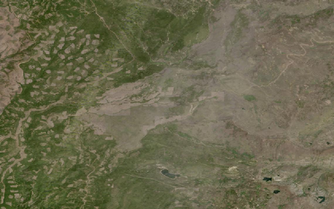
Wildfire fronts, coastlines and search zones outpace what ground patrols cover daily.
Satellite sensors return to the same ground day or night, giving a shared, repeatable picture.
This guide matches public safety tasks to the right data and provider.
Table of Contents
Key takeaways
- Public safety teams pair wildfire alerts, search and rescue, and border surveillance on one data layer
- Satellite imagery resolves buildings and vehicles, but never identifies an individual person
- The right sensor mix depends on persistent monitoring, all-weather SAR, or rapid tasking
Before evaluating any single provider, a public safety program has to settle what its mission actually requires from the data. The summary below sets out the sensors, resolution, and revisit that operational public safety monitoring depends on.
| Primary sensors | VHR optical, thermal infrared, SAR |
|---|---|
| Working resolution | 0.16-3.7 m optical and SAR |
| Typical revisit | Sub-daily for most tasked sensors |
| Core indices | Hotspot alerts, change detection |
| Entry cost | Quote-based, or from $4 per km² |
| Main constraint | Cannot resolve individual people |
Those figures cover the baseline that most public safety programs run on. Missions that depart from it, through persistent border watch, wildfire early warning, or rapid search-and-rescue tasking, change both the sensor mix and the delivery timeline.
How satellite data is used in public safety
Satellite data enters public safety operations at several distinct points in the response cycle, each relying on a different sensor type and delivery speed depending on what the mission needs to know.
Wildfire detection and fire-line situational awareness
Wildfire response starts with detecting the ignition point before it becomes a fire line. OroraTech operates a dedicated constellation of thermal infrared satellites built specifically for hotspot detection, spotting fires as small as 4 meters by 4 meters and relaying coordinates within about three minutes of the satellite passing overhead.
Greece deployed OroraTech’s Hellenic Fire System, four dedicated satellites plus a ground station, as a national wildfire warning network, a €20 million investment in dedicated coverage rather than shared capacity. Smoke and haze block optical cameras during exactly the hours a fire-line briefing matters most, and radar keeps working through it: ICEYE lists wildfire monitoring among its government solutions, adding an all-weather layer above thermal detection.
Commercial detection sits on top of a public layer, not in place of one. The Copernicus European Forest Fire Information System covers 43 countries across Europe, the Middle East and North Africa, and its active fire detection runs on MODIS at 1 km and VIIRS at 375 m, updated six times a day and published within two to three hours.
Those numbers are the case for buying anything else. A free feed that resolves 375 m every four hours and a commercial one that resolves 4 m in three minutes answer different questions, and only the second one catches an ignition early enough to matter.
Search and rescue over large or remote areas
Search and rescue over open water, mountains, or wilderness depends on how fast tasked imagery reaches the incident commander, not on a wide archive. Vantor’s Direct Access program delivers imagery as fast as 15 minutes after collection to customers with their own receiving equipment, while its Rapid Access tier guarantees six-hour delivery for less urgent search patterns.
A search rarely pauses for nightfall or weather. ICEYE’s SAR satellites image day or night and through cloud cover, and its Tactical Access product delivers data to a dedicated antenna in under an hour, keeping a search area current after optical sensors lose the light, though the imagery narrows where teams should look rather than detecting a person directly.
The alert itself usually arrives by a different route entirely. Cospas-Sarsat detects 406 MHz distress beacons through payloads in low, medium and geostationary orbit, free of charge to the person in distress, and averages about five rescues a day. Imagery answers the question that follows the beacon: what the ground around that position looks like now.
Border and coastal surveillance
Coastlines and border terrain change gradually, and catching a new crossing point or an unauthorized structure means comparing the same ground often enough to notice the difference. BlackSky’s mid-inclination orbit produces passes at different times of day over the same target rather than one fixed daily pass, and its imagery classifies vessels, vehicles, and aircraft automatically, without an analyst reviewing every frame.
Not every vessel of interest broadcasts its position. Spire Global’s satellites geolocate radio and radar emissions from VHF through X-band, a method that identifies where a signal came from even after a vessel has switched off its tracking transponder, complementing what an optical or radar image alone can confirm.
Weather risk for responders
Wildfire crews, search teams, and event security all operate outdoors, where a shifting storm cell or a sudden wind change can turn a routine deployment dangerous. Tomorrow.io operates its own constellation of weather-sensing satellites, Ka-band radar and passive microwave sounders, that reached a 60-minute global revisit milestone in January 2026, feeding severe weather alerts to teams already committed in the field.
Base mapping for dispatch and planning
Away from any single incident, dispatch centers still need a current base map to plan routes, pre-position resources, and brief responders before they arrive. Vantor’s Vivid Mosaic covers 135 million square kilometers of the world at 30 cm resolution, refreshed on a rolling basis, alongside 3D terrain models for line-of-sight and access planning.
Where the requirement is broader situational awareness rather than one sharp image, Planet’s PlanetScope constellation revisits the globe near-daily at 3 to 3.7 meters, giving a dispatch center a standing layer to check against before committing crews to a changing situation.
What satellite imagery cannot see
Even the sharpest optical resolution on this list, Vantor’s 30 cm-class imagery sharpened to 15 cm for clarity, renders a person as at most a few pixels: enough to register that something person-sized is present, not enough to make out a face, read a license plate, or tell one individual from another.
Radar imagery adds day, night, and through-cloud coverage, but it resolves shapes and surface change, not facial detail, at any resolution these constellations fly. Satellite data for public safety works at the scale of a building, a vessel, or a fire front, never at the scale of a person.
What satellite data you need for public safety
Different public safety tasks call for different sensor modalities, resolutions, and revisit rates. The table below maps each common task to the data specifications it requires.
| Task | Sensor modality | Resolution | Revisit | Key index / band |
|---|---|---|---|---|
| Wildfire hotspot detection | Thermal infrared | 4×4 m hotspot detection | About 30 min (constellation) | Thermal hotspot signature |
| Fire-line imaging through smoke | SAR (X-band) | 0.25-1 m | Daily or better | X-band backscatter |
| Time-critical search tasking | VHR optical (tasked) | 0.3-1 m | Minutes to hours | Priority tasking |
| All-weather night search | SAR (X-band) | 0.16-3 m | Sub-daily | Coherent backscatter |
| Border and coastal monitoring | VHR optical, SAR | 0.3-1 m | Multiple passes daily | Vessel and vehicle counts |
| Weather risk for responders | Passive microwave sounder | 14-26 km footprint | 60-minute global | Temperature, moisture profile |
| Dispatch base mapping | VHR optical basemap | 0.15-0.3 m | Rolling annual refresh | Ortho basemap, 3D terrain |
| Standing wide-area layer | Multispectral optical | 3-3.7 m | Near-daily | True-color mosaic |
With data requirements mapped, the next step is identifying which providers can supply them. The section below covers the most relevant options for public safety programs, from thermal detection specialists to multi-source access points.
Satellite data providers for public safety
The providers below have documented public safety use cases that map to the tasks in the table above. The mix spans optical and SAR satellite operators, a dedicated weather-intelligence operator, and a multi-source access point.
| Provider | Type | Best for | Key public safety spec | Entry point |
|---|---|---|---|---|
| BlackSky | Optical satellite operator | Repeat passes over major events | 35 cm Gen-3 resolution | Subscription (quote-based) |
| Planet | Satellite operator | Near-daily wide-area monitoring | PlanetScope 3-3.7 m, near-daily | Imagery from $2,700 per year |
| Vantor | Optical satellite operator | Rapid-tasking search and rescue | 15-min Direct Access delivery | Quote or UP42 marketplace |
| ICEYE | SAR satellite operator | All-weather, night SAR imaging | Sub-hour Tactical Access delivery | Quote or UP42 marketplace |
| Tomorrow.io | Weather satellite operator | Weather risk alerts for responders | 60-min global revisit sounders | Quote-based |
| Sfera Technologies | Multi-source access point | Several sensor types in one contract | Optical, SAR, thermal, RF | From $4 per km² optical |
For a ranked shortlist of providers by delivery speed, our guide to the best satellite tasking services covers the full market with head-to-head specifications. Programs that need the sharpest available imagery should also review our guide to the best high-resolution satellite imagery providers, which ranks providers by resolution and revisit.
How to choose satellite data for public safety
My practical note for public-safety teams is that the useful product is rarely the raw scene. In my view it is the derived layer that reaches a duty officer in minutes, so delivery latency matters more than any sensor specification on this page.
The first question is what decision the imagery has to support. A live incident needs tasked imagery reaching an incident commander within the hour, while a dispatch center’s base map is a static layer refreshed on a slower cycle, and a provider strong at one is not always the fastest route to the other.
This guide covers the ongoing civil operations behind those decisions, not the disaster event itself or a military mission. For flood mapping, damage assessment, and activation timelines, see our guide to satellite imagery for disaster response. For reconnaissance and intelligence missions, see satellite imagery for defense.
Geography and mission type decide the sensor mix more than budget does. Wildfire-prone terrain favors thermal detection backed by SAR for smoky conditions, coastal and border missions lean on optical and RF together, and a mountain search leans on whichever sensor still works after dark or in weather.
Delivery speed varies by an order of magnitude across this market. Tasked imagery from a dedicated antenna can reach a command post in under an hour, while a standing subscription or basemap refreshes on a slower, predictable cycle at a fraction of the cost. Match the tier to how time-sensitive the decision actually is.
Government procurement often favors an enterprise contract negotiated in advance of any incident, but a program building its first business case can start on published per-scene or per-area pricing before committing to a multi-year agreement.
Public safety missions frequently cross agency lines, a wildfire response involving a fire service, a forestry agency, and a local dispatch center all at once, so confirm the standard license permits sharing derived imagery with mutual-aid partners before an incident, not during one.
Verdict
Public safety is the vertical where the value of satellite data is what it rules out, not just what it shows. A thermal hotspot, a new border track, or a vessel without a transponder are all detections of an object or a pattern, confirmed instantly rather than guessed at from a ground report.
Agencies building a wildfire early-warning program should look first at dedicated thermal detection, backed by radar when smoke blocks the view. Search and rescue and time-critical border response favor rapid-tasking VHR optical and all-weather SAR, while weather risk for crews already in the field is a separate, dedicated data stream.
Programs that need several of these capabilities at once benefit from evaluating providers side by side rather than committing to a single sensor type early. For the full ranked view of the tasking market, see our satellite tasking services guide. For the sharpest available imagery, the high-resolution satellite imagery providers ranking covers the current commercial options.
Frequently asked questions
Below are answers to the questions public safety buyers most commonly ask. Each answer points to the section where the full detail lives.
How is satellite data used in public safety?
Satellite data supports five active workflows in public safety: wildfire detection, search and rescue tasking, border and coastal surveillance, weather alerts for responders, and dispatch base mapping, plus a firm limit on what any of it can resolve. The detail is in “How satellite data is used in public safety“.
Can satellites identify individual people?
No. Even the sharpest commercial optical imagery renders a person as at most a few pixels, enough to register a shape but not a face, a license plate, or an individual identity. Satellite data in this market works at the scale of buildings, vehicles, and vessels, never at the scale of a person, as covered in “How satellite data is used in public safety“.
How do satellites help with wildfire early warning?
A dedicated thermal infrared constellation can spot a hotspot as small as four meters across and relay its coordinates within about three minutes of the satellite passing overhead, well ahead of a ground report. Radar imagery adds a second layer that keeps working when smoke blocks the view. The approach is described in “How satellite data is used in public safety“.
What resolution do public safety agencies need?
Routine border and dispatch monitoring works at 0.3 to 3.7 meters, thermal hotspot detection flags fires as small as four meters across, and all-weather SAR tasking reaches as fine as 16 centimeters in the sharpest modes. The full task-to-resolution mapping is in “What satellite data you need for public safety“.
Which satellite data providers are best for public safety?
BlackSky and Vantor lead on rapid-tasking VHR optical, ICEYE covers all-weather and night SAR, Tomorrow.io is the dedicated weather-intelligence operator, and Planet’s near-daily archive works well for standing situational awareness. Provider details and access models are in “Satellite data providers for public safety“.
Can satellite data replace ground-based emergency response?
No, satellite data narrows where crews should look and how conditions are changing, but it does not put a person on the ground or in the water. It works alongside dispatch, aircraft, and ground teams as a faster, wider layer of confirmation, not a replacement for any of them. Weighing that role against a budget is covered in “How to choose satellite data for public safety“.

My passions are Earth Observation and Satellites, and my profession is Data Analysis. I combine both within ObservationData.com to show you the use cases of Earth Observation, to help you find the right provider, and to share your experiences.
