 ICEYE is a Finnish SAR satellite operator that runs the world’s largest commercial SAR constellation, covering every point on Earth regardless of cloud cover, smoke, or darkness, day or night.
Yes, ICEYE is a real, operating company. It is registered in Espoo, Finland as ICEYE Oy, and reached a valuation of over EUR 10 billion following its June 2026 Series F round. It counts NATO, several allied armed forces, and major reinsurers among its named government and commercial customers.
This review breaks down ICEYE’s sensor specs, imaging modes, pricing model, the use cases it fits best, and where a SAR-only operator may not be the right answer for your specific needs.
Table of Contents
Key Takeaways
- ICEYE targets buyers who need cloud-independent, day-or-night SAR imagery with daily revisit and sub-meter resolution
- Its 70-satellite X-band fleet delivers 25 cm Dwell Precise resolution commercially, with Gen4 reaching up to 16 cm
- Having weighed all the strengths and limitations, the main caveat is no self-serve platform of its own
About ICEYE
ICEYE Oy was co-founded by Rafal Modrzewski and Pekka Laurila as a project in 2012 and incorporated in Finland in 2014. It operates out of Espoo (greater Helsinki) with regional offices across Finland, Poland, Spain, Germany, the UK, Australia, Japan, the UAE, Greece, and the United States. The company’s stated mission is what it calls “sovereign intelligence from space”, a framing that reflects its growing defense and government line as much as its commercial data business.
Over 1,000 employees work across the operation, which spans four business lines in one company: satellite operator, imagery provider, analytics provider, and ground-segment supplier to sovereign customers. ICEYE holds ISO/IEC 27001:2022 and ISO 9001:2015 certifications.
| Name | ICEYE |
|---|---|
| Website | iceye.com |
| Legal name | ICEYE Oy |
| Address | Maarintie 6, 02150 Espoo, Finland |
| Founded | 2014 (project from 2012) |
| Ownership | Private; Series F (General Atlantic-led, Jun 2026); valuation over EUR 10B; prior Series E (General Catalyst-led, Dec 2025, EUR 2.4B) |
| Leadership | Rafal Modrzewski (CEO, Co-founder); Pekka Laurila (Chief Strategy Officer, Co-founder) |
| Employees | ~1,000+ globally |
| Products & data | SAR tasking and archive imagery (X-band, 70+ satellite fleet); natural-catastrophe analytics (Flood Insights, Wildfire Insights, Hurricane Solution); sovereign satellite systems and ground segment |
| Pricing | Contract/quote-based when buying direct; published credit rates on the UP42 marketplace; Tactical Access annual subscription for high-priority buyers |
| Languages | English |
The section below examines ICEYE’s legitimacy in detail, covering ownership, funding, customer track record, and data licensing.
Is ICEYE legit?
ICEYE is an established, active company. It is registered under Finnish corporate law as ICEYE Oy, operates its own satellite fleet, and reached a valuation of over EUR 10 billion following its June 2026 Series F round led by General Atlantic. The company also reported EUR 250M+ revenue and EUR 100M+ profitability for 2025, plus a EUR 1.5B order backlog. That combination of a verified 10-billion-euro valuation with disclosed financials leaves no room for doubt about its standing as a serious commercial entity.
Ownership and funding
The investor base behind ICEYE’s Series E is notably institutional and European-weighted: General Catalyst, A.P. Moller Holding, Bpifrance, Vinci (via BGK Group), Finnish pension funds Ilmarinen, Keva, and Varma, plus Solidium (the Finnish state investment company) and Lifeline Ventures. That mix of private equity, sovereign capital, and defense-aligned investors reflects ICEYE’s strategic pivot toward government customers.
The company also secured a EUR 300M revolving credit facility in May 2026, which signals a balance sheet built for rapid constellation scaling. Cumulative total funding is not disclosed on the site itself; the valuation and disclosed round amounts paint a clear picture of a well-capitalized operator regardless.
ICEYE operates two named entities beyond the Finnish parent: ICEYE US and a Rheinmetall-ICEYE joint venture in Neuss, Germany, serving the Bundeswehr space reconnaissance contract. Eric Jensen, previously leading the US business, was appointed global COO in June 2026.
Track record and customers
In my analysis of ICEYE’s publicly announced contracts, the customer list crosses the institutional trust threshold that distinguishes a credible operator from a startup with only promises. Named government customers include the Polish Armed Forces (MikroSAR system delivered in under 12 months), the Royal Netherlands Air Force (dedicated SAR satellite, Transporter-14), the Greek National Space Program (in collaboration with ESA), the Portuguese Air Force via the Atlantic Constellation, and NATO Allied Command Operations, which signed a SAR data agreement. The Finnish and Swedish Armed Forces and the Ministry of Defence of Ukraine are also on the list.
On the commercial side, named partners AXA, Munich Re, and the Jane Goodall Institute show that ICEYE’s analytics franchise reaches well beyond defense. The Munich Re integration into their location risk platform and FEMA’s receipt of flood extent data within 24 hours of a disaster trigger validate a real production pipeline, not a demo environment.
ESA has accepted ICEYE as a Copernicus Contributing Mission (CCM) at VHR1/VHR2 classes, an additional independent validation of data quality and data rights. The CCM designation carries meaningful weight for government and institutional procurement teams evaluating supplier credentials.
Compliance and data rights
ICEYE publishes an Evaluation EULA (v1.2) and its API distinguishes two licensing tracks: GOVERNMENT and STANDARD, selectable at the per-frame level when ordering via the Catalog API. The GOVERNMENT track covers sovereign and defense use; the STANDARD track governs commercial derivatives. Pricing is explicitly linked to EULA selection, and ICEYE markets its systems as ITAR-free for non-US allied government buyers.
The EULA prohibits reverse engineering or algorithm extraction from imagery products. For insurance or analytics platforms building on ICEYE data, downstream derivative redistribution is handled under a “Derived Data” clause that applies less restrictive criteria to non-reversibly transformed products.
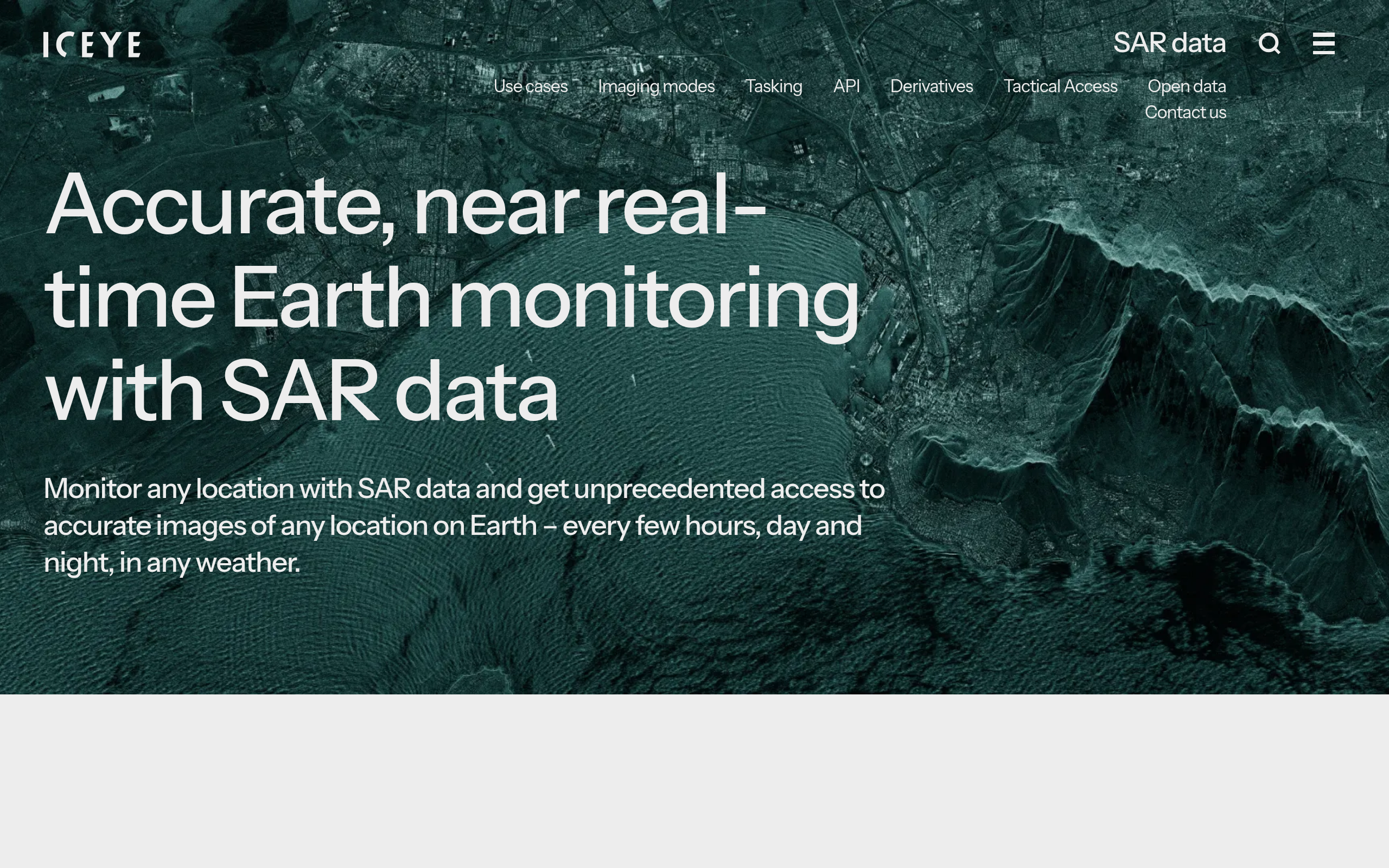
Data and capabilities
ICEYE is SAR-only: every satellite in its fleet uses X-band synthetic aperture radar, electronically steered via a software-controlled phased-array antenna. There is no optical, hyperspectral, or thermal modality in the ICEYE constellation. That is a deliberate design choice, not a gap: X-band penetrates cloud cover and works through smoke, darkness, and weather that renders optical sensors useless. For buyers who need persistent, weather-independent monitoring, the single-modality SAR approach is a feature, not a limitation.
Constellation and satellite generations
As of the Transporter-16 launch in March 2026, ICEYE had launched 70 satellites since 2018, with 22 added in 2025 alone. The company is scaling production to approximately one new satellite per week in 2026. The exact constellation count is a moving figure with quarterly updates, so treat the 70-satellite figure as a floor rather than a ceiling for current fleet size.
The fleet spans multiple hardware generations. Gen1 through Gen3 microsatellites (2018-2024) represent the core commercial fleet, with Dwell Precise at 25 cm as the headline Gen3-era product. The software-defined Gen4 platform became commercially available in September 2025, bringing 1,200 MHz imaging bandwidth, up to 16 cm resolution, a 400 km high-resolution field of regard, and 700 Mbps downlink.
Gen4 also enables sub-15-minute revisit at the constellation level and can capture 15 or more images per acquisition. All satellites orbit in LEO sun-synchronous orbit at roughly 570-600 km altitude, launching via SpaceX Transporter and Twilight rideshare missions.
Imaging modes and resolution range
ICEYE offers nine imaging modes spanning a resolution range from 25 cm to 27 m, giving buyers genuine choice between fine detail and wide area coverage. The Dwell family (Dwell Precise at 25 cm, Dwell Fine at 50 cm, and standard Dwell at 1 m) covers 5×5 km scenes and is the only mode family that produces CSI (Colorized Sub-aperture Image) and SAR Video products.
Spotlight modes extend coverage to up to 15×15 km. Strip mode at 3 m covers a 30×50 km swath. For wide-area collection, the Scan and Scan Wide modes reach up to 200×600 km at 15-27 m resolution, useful for large-area monitoring and maritime surveillance.
| Mode | Resolution | Scene size | Notable products |
|---|---|---|---|
| Dwell Precise | 25 cm | 5×5 km | SLC, GRD, CSI, SAR Video |
| Dwell Fine | 50 cm | 5×5 km | SLC, GRD, CSI, SAR Video |
| Dwell (standard) | 1 m | 5×5 km | SLC, GRD, CSI, SAR Video |
| Spot | 50 cm | Up to 15×15 km | SLC, GRD |
| Spot Fine | 50 cm (25 cm slant-range) | 5×5 km | SLC, GRD |
| Spot Extended Area | 1 m | 15×15 km | SLC, GRD |
| Strip | 3 m | 30×50 km | SLC, GRD |
| Scan | <15 m | 100×100 km | GRD |
| Scan Wide | 27 m | Up to 200×600 km | GRD |
All data products are delivered natively in Cloud Optimized GeoTIFF (COG) format. The standard commercial stack covers SLC (Single Look Complex, full amplitude and phase for interferometry), GRD (Ground Range Detected, multi-looked amplitude), and Quicklook preview images. CSI and SAR Video are exclusive to Dwell modes. NGA sensor-independent formats (SICD, SIDD, CPHD) and orthorectified products are available on custom order only, not from the standard catalog.
Archive, revisit, and delivery
ICEYE’s archive holds over 60,000 SAR images, searchable via a STAC-compatible Catalog API. Imagery is retained in the archive for at least seven days after acquisition before a non-exclusive image may be released to the public catalog. For archive access, buyers query via the Catalog API and receive a per-frame price quote tied to their contract and EULA selection.
Revisit capability is the headline strength of a 70-satellite fleet: ICEYE states daily and sub-daily Coherent Ground Track Repeat, with hundreds of global locations accessible every 4-12 hours. The default delivery SLA is 8 hours from acquisition, with average actual delivery under 4 hours. A faster SLA_3H tier is available for urgent orders. For defense and tactical customers on the Tactical Access annual subscription, the EDGE processor and certified Direct Downlink antenna bring task-to-data below 3 hours, with under-1-hour delivery possible for dedicated-antenna setups.
Pricing
ICEYE publishes no prices of its own, and a direct contract is the main commercial path, with individual task prices driven by six factors: geographic region (demand-weighted), task priority (Background or Commercial), imaging mode, SLA tier, exclusivity, and EULA type. The pricing architecture is deliberately flexible, meaning that tasks that look identical may carry different prices under different contracts, allowing ICEYE to price government missions differently from commercial use.
| Pricing input | Options | Notes |
|---|---|---|
| Region | Regional demand tiers | Price varies by geographic demand |
| Task priority | Background / Commercial | Commercial = 90% fulfilment guarantee |
| Imaging mode | Dwell / Spot / Strip / Scan | Finer mode = higher satellite resource cost |
| SLA | SLA_8H (default) / SLA_3H | SLA_3H adds a premium; average actual under 4h on SLA_8H |
| Exclusivity | Private (default) / Public | Public releases image to catalog after 7 days |
| EULA type | Government / Standard | Selectable per frame via API; affects price |
Cancellation fees follow a sliding scale: free if cancelled more than 72 hours before the collection window, 10% at 72-48 hours, 20% at 48-24 hours, and 100% within the final 24-hour window. The Tactical Access subscription is an annual capacity reservation across the fleet, designed for defense and intelligence buyers who need guaranteed throughput and dedicated-antenna delivery. ICEYE SAR imagery is also accessible via the UP42 geospatial marketplace for buyers who prefer a third-party platform with transparent per-scene pricing.
Who it’s for
ICEYE’s core buyer profile is defense and intelligence. The constellation’s persistent monitoring, sub-meter tasking, and weather-independent collection make it purpose-built for border surveillance, ISR, maritime vessel tracking, and time-sensitive targeting. The Tactical Access product, with its annual subscription model and dedicated-antenna pathway, is an explicit signal that ICEYE is optimizing for high-volume, mission-critical government customers rather than ad-hoc commercial buyers.
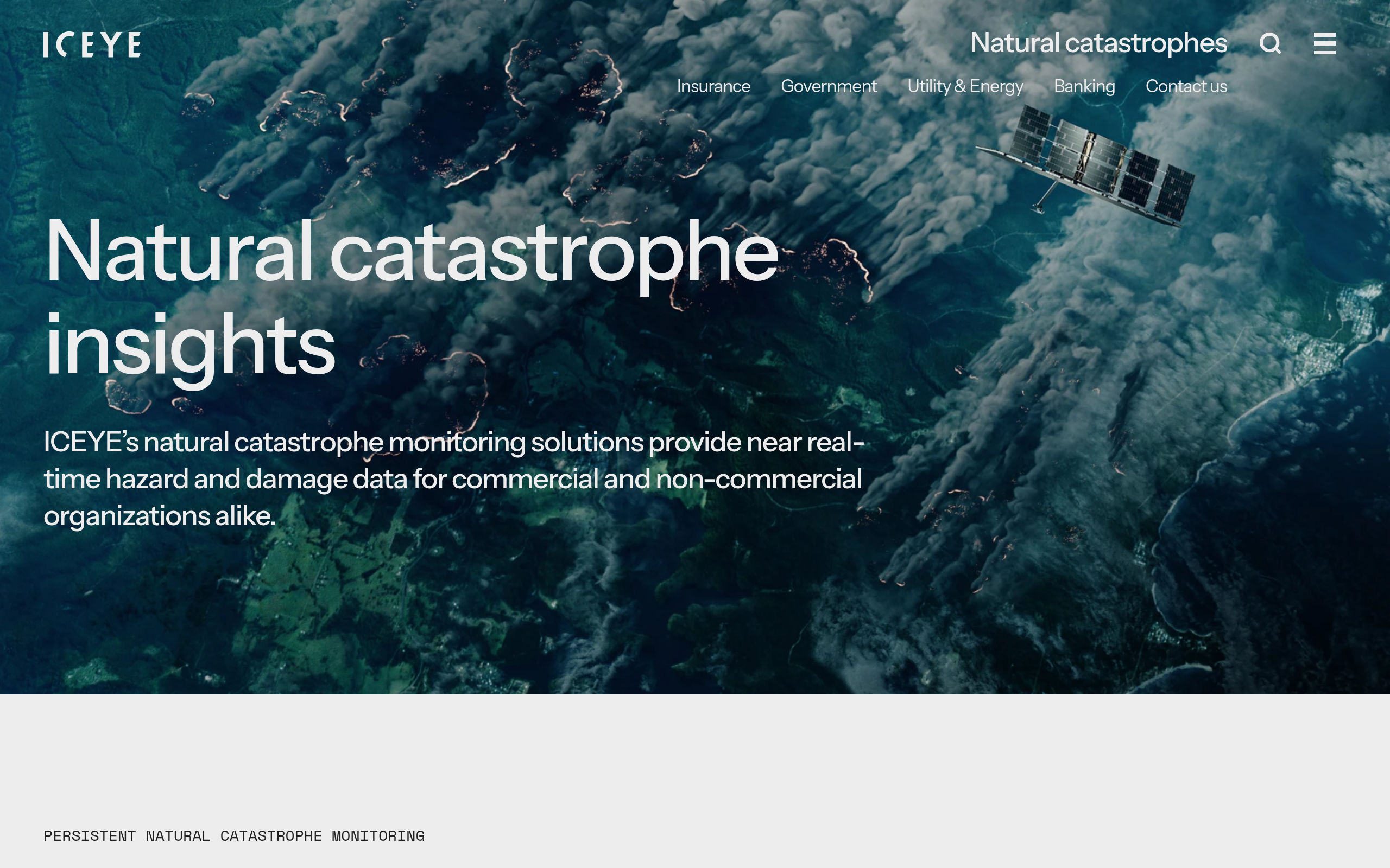
The natural catastrophe insurance vertical is the second major franchise. ICEYE’s Hurricane, Flood, and Wildfire Insights products deliver building-level impact data to insurers within hours of a triggering event. Munich Re’s integration of ICEYE flood data into their risk platform and FEMA’s use of ICEYE flood data within 24 hours of a disaster trigger are the operational anchors here. Reinsurers, primary insurers with cat-exposure portfolios, and public emergency management agencies are the natural buyers in this segment.
Beyond defense and insurance, the monitoring use cases that benefit from SAR’s cloud-independence include maritime surveillance (vessel detection, dark ship tracking, oil spill monitoring, ice extent), deforestation and illegal logging, infrastructure and site activity monitoring, and InSAR-based ground deformation measurement. All of these use cases rely on the constellation’s daily and sub-daily revisit cadence as the core capability.
Where it’s less competitive
If your application requires color imagery, spectral bands beyond SAR backscatter, or visual interpretation by non-specialist analysts, ICEYE is not the right fit. SAR imagery requires trained interpretation or algorithmic processing pipelines to extract value. Similarly, if you want to browse, preview, and buy individual scenes without a contract, ICEYE’s own channel will not do it, and you will be working through the UP42 marketplace instead. And for buyers who need multi-sensor data fusion in a single platform, a SAR-only operator will require supplemental sourcing of optical, thermal, or hyperspectral data from elsewhere.
Strengths and limitations
The pros and cons below reflect what matters most to a typical data buyer evaluating ICEYE against the main SAR operator alternatives.
- World’s largest SAR constellation with 70+ X-band satellites and daily revisit globally
- Industry-leading SAR fidelity: 25 cm (Dwell Precise) commercially, up to 16 cm with Gen4
- Weather-independent, day-or-night persistent monitoring across all imaging modes
- Complete sovereign system offering (satellite + ground segment + training, ITAR-free, under 12 months)
- Natural catastrophe analytics franchise (Flood Insights, Wildfire Insights, Hurricane Solution) with proven operational deployments
- Native COG delivery with STAC-compatible catalog API and standard SLC/GRD products
- SAR-only: no optical, hyperspectral, or thermal modality in the constellation
- Direct access is contract-only, and ICEYE publishes no rate card or free trial; self-serve buying happens on UP42, not on iceye.com
- SAR imagery requires specialist interpretation or processing pipelines, not visual-inspection-ready out of the box
- Constellation count is a time series that changes quarterly
- No commercial cloud-marketplace listing (AWS Marketplace for paid data, GEE) confirmed; an open-data bucket on AWS Registry of Open Data exists but is free/research-focused
With that picture in mind, here is how ICEYE compares against the main SAR alternatives a buyer is likely to encounter.
ICEYE alternatives
The SAR operator market has matured enough that buyers have meaningful alternatives at different price points, scale levels, and geographic orientations. The table below summarizes the key dimensions for comparison.
| Provider | Constellation | Best resolution | Band | Access model |
|---|---|---|---|---|
| ICEYE | 70+ X-band SAR sats | 25 cm (Dwell Precise), 16 cm Gen4 | X-band | Contract/quote; Tactical Access subscription |
| Capella Space | ~20 X-band SAR sats (IonQ subsidiary) | 25 cm (Spotlight Ultra) | X-band | Capella Console self-serve + API; quote for large contracts |
| Umbra | ~11 X-band SAR sats (active as of late 2025) | 25 cm spotlight; 16 cm demonstrated | X-band | Umbra Canopy self-serve + API; Open Data archive |
| Airbus Defence and Space | TerraSAR-X / TanDEM-X / PAZ + optical fleet | 25 cm SAR (SpotLight); 30 cm optical (Pléiades Neo) | X-band SAR + optical | Quote-based via OneAtlas / direct sales |
| Synspective | 9 X-band SAR sats (StriX; Japan-based, TSE-listed) | 25 cm (Staring Spotlight) | X-band | Contract/quote; analytics solutions included |
| Sfera Technologies | Multi-sensor aggregator (SAR, optical, thermal, hyperspectral, RF) | Depends on sensor selected | Multi-sensor | Platform with tasking and global ground stations |
Capella Space and Umbra are the closest direct comparisons: both operate X-band SAR constellations with sub-meter spotlight resolution and offer more accessible self-serve platforms than ICEYE’s contract model. Capella is now a subsidiary of IonQ following a 2025 acquisition, introducing some strategic uncertainty. Umbra takes a data-only philosophy and explicitly does not offer analytics, positioning itself as the most open and developer-friendly SAR operator in the market.
For buyers who want SAR paired with optical or broader sensor diversity, Airbus’s mixed optical-SAR portfolio under the OneAtlas platform offers a combined view that a SAR-only operator cannot match. Synspective is the leading Japanese SAR operator and a reasonable alternative for buyers in the Asia-Pacific region.
Buyers who need SAR as one layer within a multi-sensor data program may find that an aggregator approach suits them better. Sfera Technologies (sfera.earth) brokers SAR alongside optical, thermal, hyperspectral, and RF data, with tasking coordination and global ground stations, which is a practical fit for organizations that want multi-sensor flexibility without managing relationships with multiple operators separately.
ICEYE is ranked against the field in our roundup of the best SAR data providers.
Verdict
The real question for any ICEYE buyer is not legitimacy. It is fit. ICEYE is one of the best-resourced and technically mature SAR operators in the world, with a post-Series-F valuation of over EUR 10B, disclosed 2025 revenue above EUR 250M, and a EUR 1.5B order backlog placing it in a different commercial category than most commercial EO companies.
What ICEYE delivers is unambiguous: the world’s largest SAR fleet, daily and sub-daily revisit, industry-leading 25 cm resolution, and a complete sovereign system stack that allied governments can deploy within a year. The natural catastrophe analytics products for insurers add a commercially differentiated layer that few SAR operators have built. The Gen4 platform extending resolution to 16 cm and revisit to sub-15-minute intervals means the technical ceiling is still rising.
The caveats are real. If you need optical imagery, ICEYE cannot provide it. If you want a self-serve marketplace with transparent per-scene pricing, that route runs through UP42 rather than ICEYE itself. SAR imagery also demands either trained analysts or automated processing pipelines, so buyers expecting visually interpretable outputs should factor that expertise cost into their evaluation.
For defense and intelligence buyers, large-scale maritime surveillance teams, insurance catastrophe modelers, and sovereign governments building national SAR capability, ICEYE is a first-tier option. For buyers building a multi-sensor EO program where SAR is one of several data types needed, the right answer may be ICEYE for SAR, paired with other operators or an aggregator that handles multi-sensor sourcing on your behalf.
Frequently asked questions
Here are answers to the most common questions about ICEYE from prospective buyers.
How does ICEYE work?
ICEYE operates a fleet of X-band SAR microsatellites in low Earth orbit. Buyers submit tasking orders via the Tasking API or 24/7 customer support team, the satellite captures the image, and it is delivered within 8 hours of downlink on average. The archive is accessible via the Catalog API with STAC-compatible queries. More detail is in the section “Data and capabilities“.
Is ICEYE a legitimate company?
ICEYE Oy is a real, registered Finnish company, Series E-funded at a EUR 2.4B valuation, with publicly named government and commercial customers including NATO, multiple allied armed forces, and major reinsurers. All details are covered in the section “Is ICEYE legit?“.
How much does ICEYE cost?
ICEYE publishes no prices of its own, and buying direct means a contract, with task price driven by region, priority, imaging mode, SLA, exclusivity, and EULA type. Its imagery is also sold on the UP42 marketplace at published credit rates: catalog from 28,571 credits per scene, tasking from 87,500. The Tactical Access product is an annual subscription for high-frequency defense buyers. Pricing factors are covered in “Pricing“.
Does ICEYE have a free tier?
There is no self-serve free tier for commercial tasking. ICEYE runs an Open Data Initiative that makes sample imagery available at no cost, and ICEYE SAR data is also accessible through the UP42 marketplace for buyers who prefer per-scene purchasing without a direct ICEYE contract.
Who owns ICEYE?
ICEYE is a private Finnish company co-founded by Rafal Modrzewski (CEO) and Pekka Laurila (CSO). Its Series E investors include General Catalyst, A.P. Moller Holding, Bpifrance, and Finnish institutional funds including Solidium. There is no public listing and no parent company controls ICEYE. See the section “Is ICEYE legit?” for full ownership details.
Who are ICEYE’s customers?
Named customers include NATO, the Polish and Dutch Armed Forces, the Greek National Space Program, the Portuguese Air Force, AXA, Munich Re, and FEMA. The customer base spans defense, intelligence, insurance, and emergency management. Track record is detailed in the section “Is ICEYE legit?“.
Where is ICEYE based?
ICEYE Oy is registered at Maarintie 6, 02150 Espoo, Finland (greater Helsinki area). The company operates regional offices across Europe, North America, Asia-Pacific, and the Middle East. Press releases are typically datelines from Helsinki, which is adjacent to Espoo.

My passions are Earth Observation and Satellites, and my profession is Data Analysis. I combine both within ObservationData.com to show you the use cases of Earth Observation, to help you find the right provider, and to share your experiences.