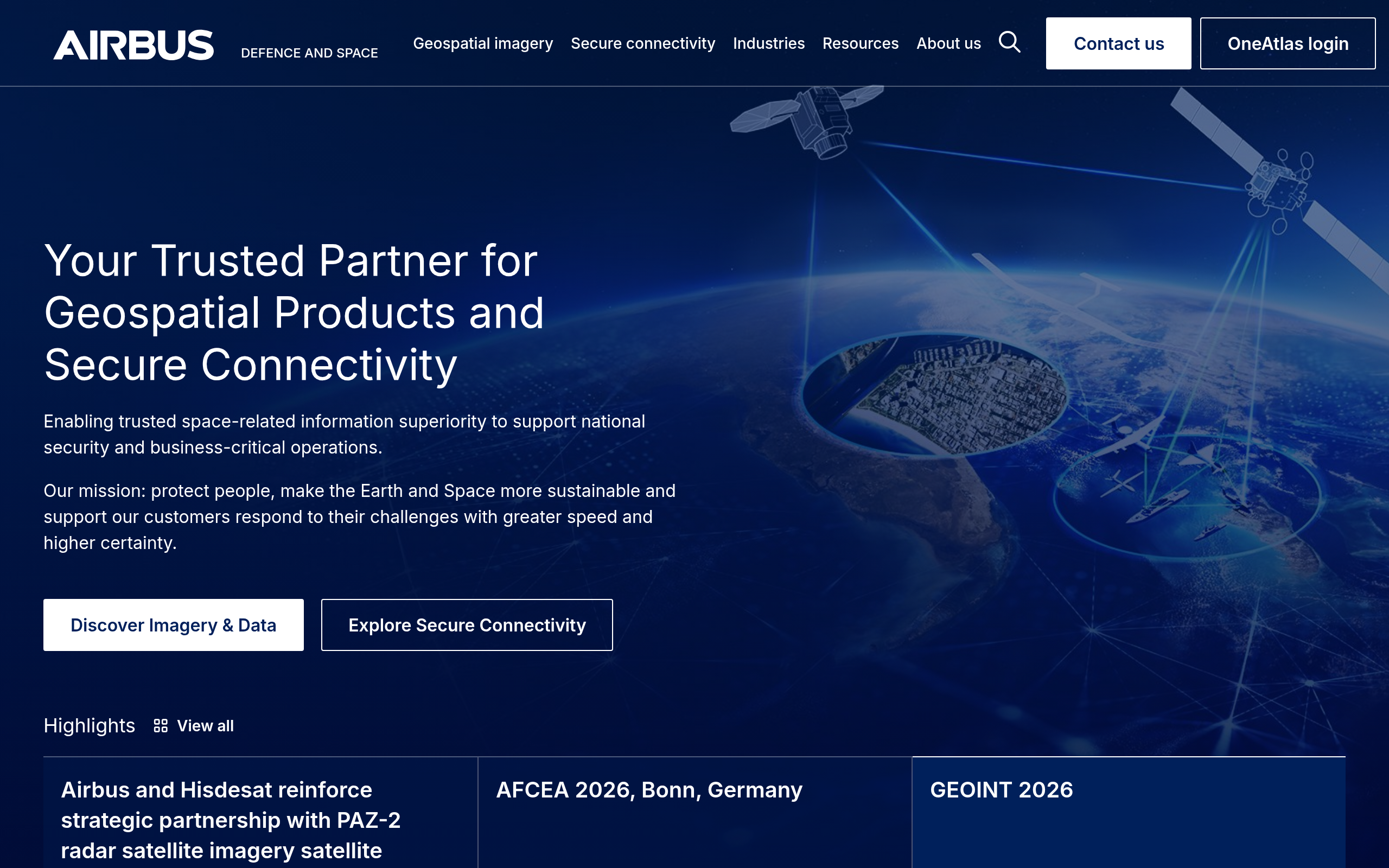
 Airbus Defence and Space is a French satellite operator and imagery provider with one of the widest multi-sensor commercial constellations available from a single vendor, spanning 30 cm optical, 50 cm optical, 1.5 m wide-area optical, and X-band SAR from the same ordering platform.
Yes, it is a real company in the most unambiguous sense: a division of publicly traded Airbus SE, backed by four decades of continuous Earth observation operations and named customers including NATO, the French Ministry of Defence, and Nestlé.
This review breaks down Airbus’s data products, constellation strengths and gaps, opaque pricing, and the alternatives worth comparing, so you can decide whether the full Airbus catalog justifies the commitment for your workflows.
Table of Contents
Key Takeaways
- Airbus Defence and Space suits buyers who need optical and SAR from a single vendor
- Its standout edge is a multi-sensor catalog with 40-plus years of archive spanning sub-meter optical to 25 cm X-band SAR
- We weighed all the strengths and limitations: the central caveat is that Airbus itself publishes no price list
About Airbus Defence and Space
Airbus Defence and Space Intelligence, also marketed as Airbus Space Digital, is the commercial Earth observation arm of Airbus SE. Its satellite imagery and analytics products are sold through space-solutions.airbus.com, a platform that has consolidated what was previously the intelligence.airbus.com domain. The key facts below reflect the provider’s own published pages as of May 2026.
| Name | Airbus Defence and Space |
|---|---|
| Website | space-solutions.airbus.com |
| Legal name | Airbus Defence and Space SAS |
| Address | 31 rue des Cosmonautes, ZI du Palays, 31402 Toulouse, France |
| Founded | 1986 (commercial EO operations, SPOT 1 launch) |
| Ownership | Subsidiary of Airbus SE (Euronext Paris: AIR.PA) |
| Leadership | Alain Fauré (Managing Director, Airbus Defence and Space SAS); Eric Even (Head of Space Digital); Karen Florschütz (Executive Vice President, Connected Intelligence) |
| Employees | ~2,300 across 27 sites globally |
| Products & data | Pléiades Neo 30 cm optical; Pléiades 1A/1B 50 cm optical; SPOT 6 1.5 m optical; Vision-1 0.87 m optical; TerraSAR-X / TanDEM-X / PAZ X-band SAR (25 cm–40 m); WorldDEM Neo 5 m global DEM; OneAtlas platform and API; Living Library subscription archive |
| Pricing | Quote-based when buying direct; published credit rates for SPOT and Pléiades on the UP42 marketplace; OneAtlas Guest Access free trial (search and preview only) |
| Languages | English, French |
The scale of Airbus’s commercial EO business is not typical for the sector. The about-us page cites more than 2,000 customers in 150 countries, over 300 defence customers in 30-plus countries, and a reseller network of 106 geospatial partners across 49 countries. The archive stretches back to SPOT 1 in 1986, making it the longest unbroken commercial optical dataset available.
Is Airbus Defence and Space legit?
Airbus’s standing as an EO provider is not in question. The division is part of one of the world’s largest aerospace and defence groups, with a continuous commercial satellite imagery business spanning four decades. The practical question for a buyer is whether the catalog fits their mission, not whether the company is established.
Ownership and structure
Airbus Defence and Space SAS is a wholly owned operating subsidiary of Airbus SE, which is dual-listed on Euronext Paris, Frankfurt, and the Spanish exchanges under the ticker AIR.PA. The parent company files consolidated financial statements as a public company, and the Intelligence division’s financials are not broken out separately. Even so, the backing of a multi-billion-euro aerospace group means financial continuity is not a buyer concern.
The Intelligence business operates under three different legal entities: Airbus Defence and Space SAS in France, ADS GmbH in Germany, and ADS Limited in the UK. The TerraSAR-X and TanDEM-X radar satellites were funded jointly with DLR, the German Aerospace Center, and data from those satellites is subject to the German Satellite Data Security Act (SatDSiG), a compliance consideration for buyers handling classified or sensitive geographies.
Track record and customers
Forty years of continuous commercial EO operations provide a heritage few providers can match. Named defence customers on the about-us page include the French Ministry of Defence, the German Bundeswehr, NATO Alliance Ground Surveillance, and the French Marine Nationale (Spationav program). Named commercial customers span sectors from agriculture (Nestlé, Intelinair) to environmental monitoring (Satelytics) to humanitarian mapping (MapAction).
The SPOT constellation has served as the imagery source for the Norwegian International Climate and Forests Initiative (NICFI) programme, with Airbus delivering millions of km² of SPOT 5 and SPOT 6/7 imagery under the multi-year contract, a multilateral government procurement that further validates the platform’s reliability. Airbus distributes data through the UP42 marketplace and a 106-strong global reseller network, adding layers of third-party endorsement.
Compliance and data rights
Airbus publishes its End User Licence Agreements at space-solutions.airbus.com/legal/licences/, covering standard commercial, defence, academic, and SAR-specific licences. The SAR EULA reflects DLR’s requirements under SatDSiG, and the academic licence limits redistribution and commercial use. Buyers with ML training workflows should review the current licence version directly, as terms affecting algorithm development have been updated in recent EULA versions.
Data and capabilities
Airbus operates commercially one of the most complete multi-sensor constellations, combining optical and radar sensors with a 40-plus-year archive and a unified ordering platform. The two sensor families serve fundamentally different use cases, so it is worth examining them separately before looking at how the platform layers on top.
Optical constellation
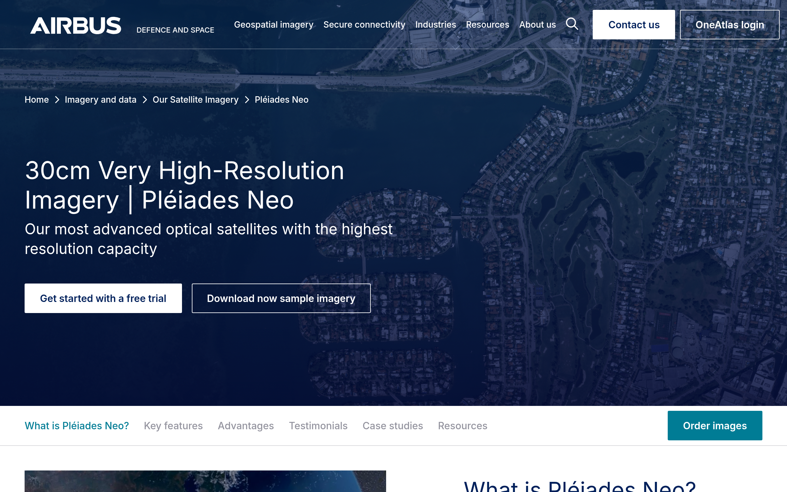
The optical portfolio spans three resolution tiers. Pléiades Neo leads the lineup at 30 cm native panchromatic, currently operational as two satellites (Neo 3 and Neo 4, both launched in 2021). The original design called for four but Neo 5 and Neo 6 were lost in the Vega-C VV22 launch failure on December 21, 2022. Airbus’s site now states daily revisit with intraday revisit possible over any point on Earth.
Pléiades Neo also supports HD15, an AI-enhanced product that renders imagery at 15 cm visual resolution. Pléiades Neo Next, a 20 cm-class successor, was announced in 2024 for service continuity to at least 2040, which is a meaningful long-term commitment for buyers planning multi-year programs.
Below Pléiades Neo sit the twin Pléiades 1A and 1B satellites at 50 cm with a 20 km swath, and SPOT 6 at 1.5 m with a 60 km swath. SPOT 6 shares an orbit with the Pléiades pair, combining wide-area coverage with detail tasking in a single pass. Vision-1, a 0.87 m sensor operated in a UK partnership, rounds out the catalog with analysis-ready data as standard output.
| Sensor | Resolution | Swath | Revisit | Status |
|---|---|---|---|---|
| Pléiades Neo | 30 cm Pan | 14 km | Daily (intraday possible) | 2 operational |
| Pléiades 1A/1B | 50 cm Pan | 20 km | Daily | 2 operational |
| SPOT 6 | 1.5 m | 60 km | Daily | Operational |
| Vision-1 | 0.87 m Pan | 20.8 km | Not stated | Operational |
Airbus also offers on-demand elevation products derived from Pléiades Neo stereo acquisitions (Elevation 0.5, 1, and 4) alongside the global WorldDEM product family, connecting the optical and radar catalogs into a single elevation data offering.
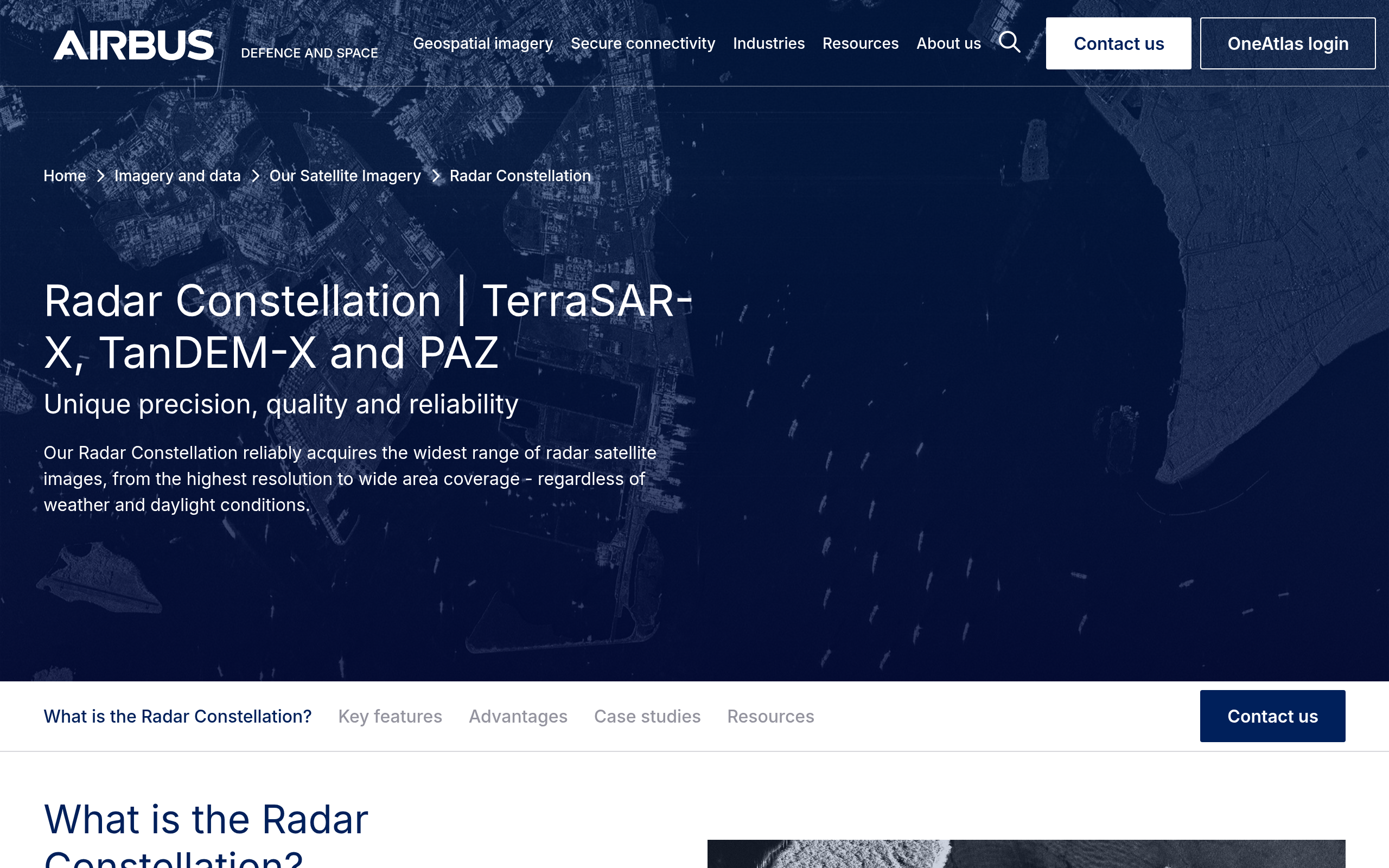
Radar constellation
The Radar Constellation pairs three X-band SAR satellites, TerraSAR-X (2007), TanDEM-X (2010), and PAZ (2018), in the same orbit tube with identical imaging modes. This arrangement means the three sensors can be tasked in coordinated geometries, supporting interferometric analysis and InSAR ground-deformation workflows that require precise repeat-pass geometry.
In Staring SpotLight mode, the constellation delivers 0.25 m resolution over a 4 x 3.7 km scene. At the wide end, ScanSAR covers areas up to 200 x 200 km at 40 m resolution. The PREMIUM NRT service delivers radar imagery with an average latency of plus or minus one hour globally, which matters for time-critical monitoring. A global mean revisit time of under 24 hours is stated on the product page.
The radar archive dates from 2007, giving buyers access to nearly two decades of X-band SAR history. A January 2026 framework agreement with Synspective, a Japanese X-band SAR operator, adds supplementary capacity in Staring SpotLight and StripMap modes, improving equatorial coverage in the legacy constellation.
Both TerraSAR-X and TanDEM-X are aging assets, 19 and 16 years in orbit as of 2026. Airbus’s site does not publish end-of-life timelines, but PAZ 2 is in development for future SAR continuity.
The TanDEM-X mission produced WorldDEM: the 12 m posting legacy global DEM with under 6 m LE90, from which the Copernicus GLO-30 dataset is derived. WorldDEM Neo upgrades this to 5 m posting with 1.4 m LE90 absolute vertical accuracy, sourced from 2017 to 2021 TanDEM-X data and available via the Elevation Portal on a quote-only basis.
Platform and access
All sensor types are accessible through the OneAtlas platform, providing a web interface, API, and archive ordering for optical data. The Radar Portal (radar.oneatlas.airbus.com) handles SAR tasking and archive, while the Elevation Portal covers DEM products. Guest Access accounts across all three portals let buyers run search and preview without full-resolution download, a useful technical validation step before committing to a quote.
In my analysis, what matters most about OneAtlas is what it consolidates rather than what it features individually. Buyers who need optical, radar, elevation, and analytics under a single contract and API endpoint will find very few alternatives at this breadth. The tradeoff is a platform oriented toward enterprise procurement, not self-serve exploration.
Pricing
Airbus does not publish price lists on its own pages. The contact page states that “each project is unique, we need to know more about your project to provide accurate pricing,” and every path there leads to a sales form. Buying direct therefore means talking to sales first.
That is not the whole picture, though. The UP42 marketplace resells Airbus optical data at published credit rates: SPOT archive from 200 credits per km² and tasking from 280, Pléiades archive from 1,000 credits per km² and tasking from 1,700.
A buyer who wants a number before a sales call, or a small area without a contract, can get both without ever contacting Airbus. What stays genuinely quote-only is the SAR and elevation catalog, plus any volume agreement.
| Product category | Model | Free access | Notes |
|---|---|---|---|
| Pléiades Neo / Pléiades / SPOT optical | Quote-based direct; published credit rates on UP42 | Guest Access (preview only) | Pay-per-order archive and tasking. Living Library subscription for curated optical streaming. |
| Radar Constellation (SAR) | Quote-based | Radar Guest Access | PREMIUM NRT on OneAtlas Premium (pay-per-use). Archive from 2007. |
| Elevation and DEM | Quote-based | Elevation Portal Guest Access | WorldDEM Neo minimum AoI 100 km². WorldDEM legacy and Elevation 0.5/1/4 also quote-only. |
| Living Library subscription | Subscription | No | Curated optical archive streaming at 30 cm, 50 cm, and 1.5 m. Terms on request. |
The guest access trial covers all three portals and is a reasonable entry point for technical validation. Buyers used to self-serve platforms with transparent per-km² pricing will find the shift to quotes and sales cycles a significant change in procurement overhead. The quote model is standard at this tier of the market and reflects the enterprise nature of the customer base, but that context does not make it any less friction-heavy for first-time evaluation.
Who it’s for
Airbus’s catalog suits buyers who need breadth and depth in a single vendor relationship. In my analysis, the combination of VHR optical and precision X-band SAR, a 40-year archive, and a defence-grade track record points to three broad buyer segments.
Government and defence agencies are the most natural fit. Airbus is one of a very short list of commercial operators with the heritage, multi-sensor coverage, and compliance framework to serve national security and intelligence programs. The named customer base on the site, including NATO AGS and three French government departments, reflects that orientation clearly.
Infrastructure monitoring and geospatial mapping programs that need precision elevation data alongside imagery will find WorldDEM Neo hard to match elsewhere. The 5 m posting and 1.4 m LE90 absolute vertical accuracy make it one of the most precise commercial global DEMs available, and its availability in the same contract as optical tasking simplifies procurement.
Commercial buyers in agriculture, energy, maritime surveillance, and environmental monitoring can access the full optical tier-stack from 30 cm to 1.5 m, with analytics via OneAtlas and a Synspective SAR supplement for cloud-penetrating and night-acquisition needs. Where Airbus is less competitive is for buyers with modest budgets who need transparent self-serve access. Planet’s published pricing tiers and Capella’s API-first ordering process are meaningfully easier to onboard without a sales cycle.
Strengths and limitations
Based on my analysis of the full catalog, the core tradeoffs break down as follows.
- Multi-sensor catalog in one platform: 30 cm optical, X-band SAR at 25 cm, and 5 m global DEM from a single vendor
- 40-plus-year continuous optical archive dating back to SPOT 1 in 1986
- PREMIUM NRT SAR delivery averaging plus or minus one hour globally
- Guest access trials available across optical, radar, and elevation portals before any purchase commitment
- Pléiades Neo Next (20 cm-class) in development, extending platform continuity to 2040-plus
- No public pricing on any product line; all sales require a quote and a sales conversation
- Pléiades Neo reduced to two operational satellites after the Vega-C VV22 loss in December 2022, limiting capacity versus the original four-satellite design
- TerraSAR-X and TanDEM-X are aging assets (launched 2007 and 2010) with no published end-of-life timeline
- No cloud marketplace listings found for AWS, Google Earth Engine, or similar platforms as of the last verification
Buyers evaluating Airbus have several genuine alternatives depending on which part of the catalog they need to compare. The table below focuses on scenarios where a peer provider does something differently rather than claiming full equivalence.
Airbus Defence and Space alternatives
The comparisons below cover the main use-case splits: VHR optical, dedicated SAR, high-frequency monitoring, and multi-operator access. Each alternative has a distinct positioning rather than being a straight substitute for the full Airbus catalog.
| Provider | Type | Why consider it | Key limitation vs. Airbus |
|---|---|---|---|
| Vantor (formerly Maxar) | Satellite operator | 30 cm-class VHR optical constellation, up to 15x daily revisit, AI-powered spatial intelligence platform | No native SAR capability |
| Planet Labs | Satellite operator | Near-daily global 3 m monitoring with transparent self-serve pricing from $2,700/yr and multi-sensor access via one platform | No SAR. VHR resolution limited to 50 cm. |
| BlackSky | Satellite operator | Mid-inclination LEO for multiple same-day passes, Gen-3 35 cm VHR optical, 60-minute delivery at full constellation | Optical only. Shorter operational track record. |
| Capella Space | Satellite operator | US commercial SAR specialist with sub-0.25 m spotlight resolution and API-first ordering with 20-minute tasking confirmation | No optical. Pure-SAR operator. |
| Sfera Technologies | Multi-operator aggregator | Buyers who want optical, SAR, thermal, hyperspectral, and RF from multiple operators without committing to one vendor’s catalog. Brokers tasking across operators with global ground stations. | Not a sensor owner. Depends on partner operator availability. |
The clearest head-to-head for optical buyers is Vantor, which offers a larger current 30 cm-class constellation with higher daily collection capacity. For SAR, Capella provides an API-first US alternative with competitive spotlight resolution. Buyers who want multi-sensor coverage without committing to a single operator may find a unified aggregator platform worth evaluating alongside direct operator options.
See where Airbus ranks among the VHR majors in our guide to the best high-resolution satellite imagery providers.
Verdict
The question for most buyers is fit, not legitimacy. Airbus Defence and Space is one of the most established commercial EO operators on the planet, backed by a public parent company and a customer list that spans NATO to Nestlé. The catalog is genuinely broad, combining VHR optical, precision X-band SAR, and a global DEM product in a single vendor relationship with a 40-year archive behind it.
What gives serious buyers pause is the combination of opaque pricing and the Pléiades Neo constellation running at half its intended capacity since the Vega-C loss in December 2022. Both are manageable for enterprise buyers who expect a sales process, but they make casual evaluation harder than necessary. The PREMIUM NRT SAR service and the WorldDEM Neo 1.4 m vertical accuracy are differentiated capabilities that few commercial vendors can match.
Our recommendation: Airbus Defence and Space fits government agencies, defence programs, infrastructure mapping projects, and any buyer who needs optical and SAR from a single contract. If price transparency or a self-serve API with published rates is the priority, one of the alternatives above will get you there faster. If the full multi-sensor catalog and archival depth are what you need, Airbus remains one of the few operators that can actually deliver it.
Frequently asked questions
Here are answers to the most common questions about Airbus Defence and Space from buyers evaluating satellite imagery options.
What does Airbus Defence and Space do?
Airbus Defence and Space Intelligence is the commercial satellite imagery and analytics division of Airbus SE. It operates a multi-sensor constellation covering optical (30 cm to 1.5 m) and X-band SAR (25 cm to 40 m), distributes data through the OneAtlas platform, and provides analytics and global elevation products. Find full details in the section “About Airbus Defence and Space“.
Is Airbus Defence and Space a real and reliable company?
Yes. It is a division of publicly traded Airbus SE, backed by four decades of continuous commercial Earth observation since SPOT 1 in 1986. More context is in “Is Airbus Defence and Space legit?“
How much does Airbus satellite imagery cost?
Airbus publishes no pricing of its own, so buying direct means requesting a quote. Its optical data is resold on the UP42 marketplace at published credit rates, though: SPOT archive from 200 credits per km², Pléiades archive from 1,000. SAR and elevation stay quote-only. Guest access accounts are free for preview and search. Full details are in the section “Pricing“.
Who owns Airbus Defence and Space?
It is a subsidiary of Airbus SE, publicly traded on Euronext Paris (ticker AIR.PA). The Intelligence division operates within the parent group, not as a separately listed entity. See “Is Airbus Defence and Space legit?” for the ownership structure.
When was Airbus Defence and Space founded?
Commercial Earth observation operations began in 1986 with the launch of SPOT 1. Airbus SE itself was formed in 1970, and the Defence and Space division is part of that corporate lineage. The 40-plus years of EO heritage is the figure Airbus uses on its own site. Background is in “About Airbus Defence and Space“.
Where is Airbus Defence and Space based?
The primary legal entity, Airbus Defence and Space SAS, is headquartered in Toulouse, France (31 rue des Cosmonautes, 31402 Toulouse). The headquarters being in France reflects the company’s European roots, with additional operating entities in Germany and the UK. The full address is in the Key Facts table under “About Airbus Defence and Space“.
Does Airbus offer a free trial?
Yes. OneAtlas Guest Access provides free optical imagery search and preview. Radar Guest Access and Elevation Portal Guest Access cover the other sensor types. The full-resolution downloads require a paid account. Details are under “Pricing“.
What are the best alternatives to Airbus Defence and Space?
For VHR optical, Vantor (formerly Maxar) offers a larger 30 cm-class constellation with higher revisit capacity. For dedicated SAR, Capella Space provides API-first ordering with published access and competitive spotlight resolution. The full comparison is in “Airbus Defence and Space alternatives“.

My passions are Earth Observation and Satellites, and my profession is Data Analysis. I combine both within ObservationData.com to show you the use cases of Earth Observation, to help you find the right provider, and to share your experiences.