 HawkEye 360 is a US-based RF-geolocation satellite operator, headquartered in Herndon, Virginia, that flies formation-flying trios of dedicated signals-intelligence satellites to detect and geolocate radio-frequency emissions anywhere on Earth.
Yes, it is a legitimate company with a verifiable government contract record, having served the National Reconnaissance Office, the U.S. Navy, and the NGA, and it listed on the NYSE in May 2026 under the ticker HAWK.
This review breaks down how the technology works, what the data products cover, what pricing and access actually look like, and which buyers are well or poorly served by a pure RF-intelligence operator.
Table of Contents
Key Takeaways
- HawkEye 360 is the commercial RF-geolocation pioneer, best fit for defense, maritime awareness, and spectrum intelligence buyers
- Formation-flying TDOA/FDOA clusters enable passive multi-signal geolocation of radar, GNSS, and comms emissions globally
- After weighing all the strengths and limitations: the net caveat is no published pricing and contract-level access requirements
About HawkEye 360
HawkEye 360, Inc. is the first commercial company to have geolocated a broad range of RF signals from a dedicated LEO satellite constellation, proving that capability with its Pathfinder trio in 2018. It does not provide optical or SAR imagery: the entire product portfolio is built on passive RF detection and geolocation. The key facts below are drawn from HawkEye 360’s published pages as of May 2026.
| Name | HawkEye 360 |
|---|---|
| Website | he360.com |
| Legal name | HawkEye 360, Inc. |
| Address | Herndon, Virginia, USA |
| Founded | 2015 |
| Ownership | Public (NYSE: HAWK, IPO May 2026) |
| Leadership | John Serafini (CEO and Founder), Todd Probert (COO), Craig Searle (CFO) |
| Products & data | RF signal geolocation (RFGeo, RFIQ), Maritime Intelligence suite (dark vessel detection, Vessel Custody ID), GNSS Interference Detection, Spectrum Monitoring, Air Defense Radar Monitoring, Communications Mapping, Electronic Order of Battle; own LEO constellation of 42+ satellites in 14 formation-flying clusters |
| Pricing | Subscription or government contract; no public pricing; Global Data Marketplace for US government procurement |
| Languages | English |
HawkEye 360 raised approximately $416 million in gross IPO proceeds in May 2026, following a $150 million Series E equity and debt round closed in December 2025. That Series E also funded the acquisition of Innovative Signal Analysis (ISA), adding advanced signal-processing algorithms to the platform. Data is processed in AWS GovCloud and delivered via daily subscription downloads or a Collections API.
The Global Data Marketplace (globaldatamarketplace.com) serves as a procurement channel for U.S. government entities and international allies, covering GPS Interference, Maritime Domain Awareness, Electronic Order of Battle, and Communications Mapping products.
Is HawkEye 360 legit?
HawkEye 360 is a real, publicly traded company with verifiable government contracts. The question is not whether the company is credible, but whether its specific RF-intelligence capability matches your use case.
Ownership and funding
HawkEye 360, Inc. went public on the NYSE under the ticker HAWK in May 2026, at $26 per share across 16 million shares. That IPO brings quarterly reporting, SEC disclosures, and public accountability that most commercial EO operators cannot offer. Prior to the IPO, the company raised a Series E of $150 million in December 2025, co-led by NightDragon and Center15 Capital.
Debt participation came from Silicon Valley Bank (First Citizens Bank), Pinegrove Venture Partners, and Hercules Capital. The Series E also financed the acquisition of Innovative Signal Analysis (ISA) for advanced signal-processing capabilities.
Lockheed Martin Ventures joined as an investor in a Series D-1 extension, signaling deep defense-industry alignment well before the IPO. A $125 million revolving credit facility was entered in May 2026, shortly after the IPO closed.
Track record and customers
The clearest credibility evidence is the sustained government contract record. HawkEye 360 has held a relationship with the National Reconnaissance Office since January 2022, and in December 2025 the NRO announced 23 months of dedicated funding to advance tactical RF data and analytics capabilities. The U.S. Navy renewed a contract for Indo-Pacific maritime domain awareness in 2025, and the National Geospatial-Intelligence Agency awarded a contract extension in 2023.
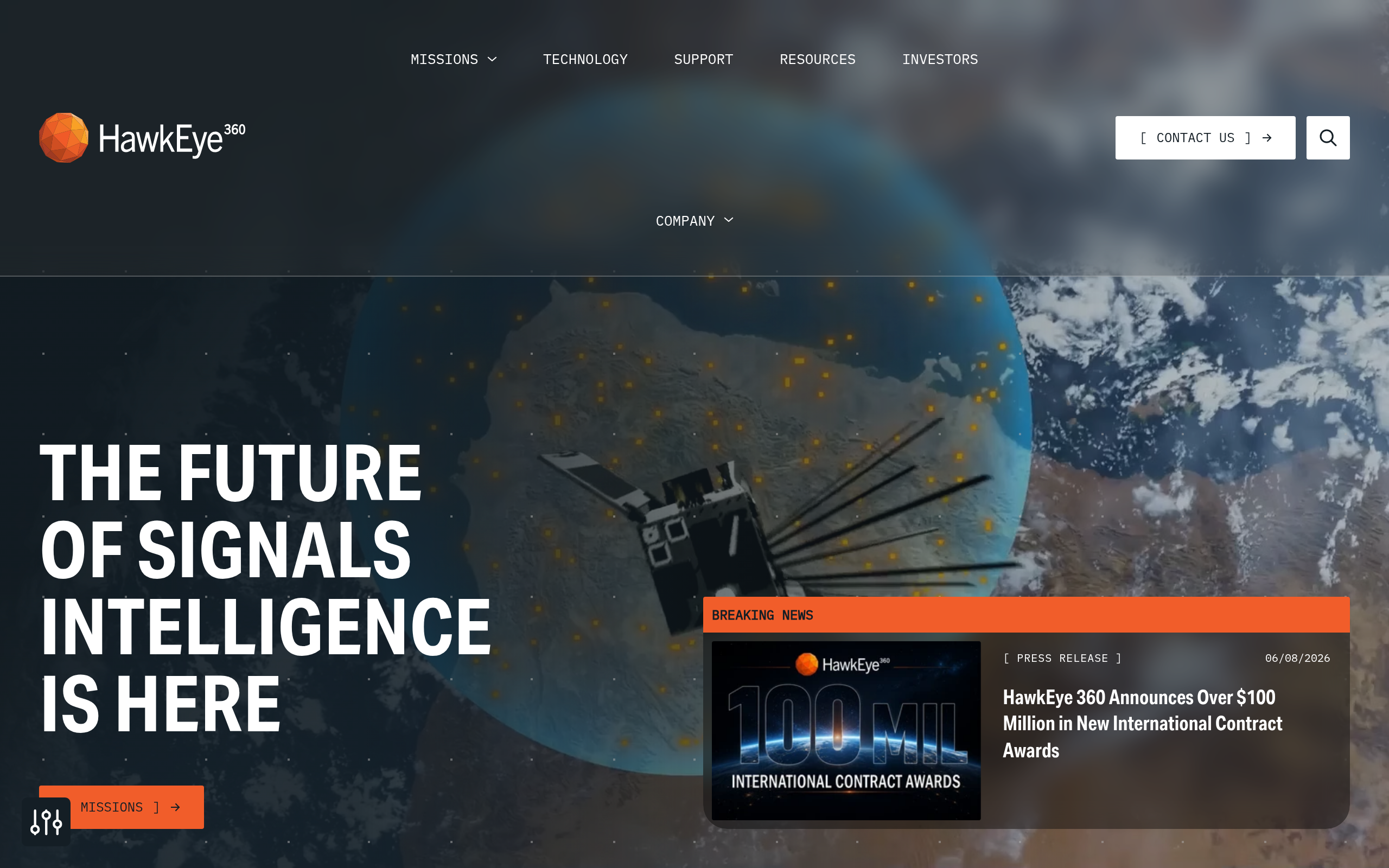
Additional named customers on the company’s public newsroom include U.S. Air Force Research Laboratory, U.S. Army (CRADA), U.S. Space Force, NASA, Slingshot Aerospace, General Atomics Integrated Intelligence, Windward, Airbus, and the Pacific Islands Forum Fisheries Agency. On June 8, 2026, the company announced over $100 million in new international contract awards year-to-date, spanning eight international defense, intelligence, and national security customers, which is a significant indicator of international demand growth.
Compliance and data governance
HawkEye 360 is a US company headquartered in Virginia with deep ties to the US intelligence community, which means export control and access restrictions apply. The company does not publish explicit ITAR status on its public pages, but its customer base, AWS GovCloud infrastructure, and government procurement channel all point toward a US-aligned access model. International buyers outside the Five Eyes or allied defense communities should factor in potential licensing complexity before engaging.
Data and capabilities
HawkEye 360’s entire data architecture rests on one physical principle: three satellites flying in close formation can time-stamp and frequency-mark the arrival of the same RF signal from three slightly different positions, enabling passive geolocation through TDOA and FDOA calculations. No active transmission is required, and the target emitter need not cooperate in any way.
Constellation and sensor coverage
As of March 2026, HawkEye 360 operates at least 14 active clusters totaling 42 or more operational satellites in LEO at approximately 500 km altitude in sun-synchronous orbits. The company’s technology page still reads “more than thirty satellites,” which is a stale figure. Cluster 12 achieved full operational capability in September 2025, and Cluster 13 (January 2026) and Cluster 14 (March 2026) bring the actual count above 42.
Satellite generations span the retired Pathfinder Block 1 trio (launched 2018, retired 2023), the operational Hawk Block 2 backbone, the newer Kestrel compact design with interchangeable antennas, and a Future Concept under development. The December 2025 ISA acquisition added signal-processing algorithms aimed at improving detection in complex or congested RF environments.
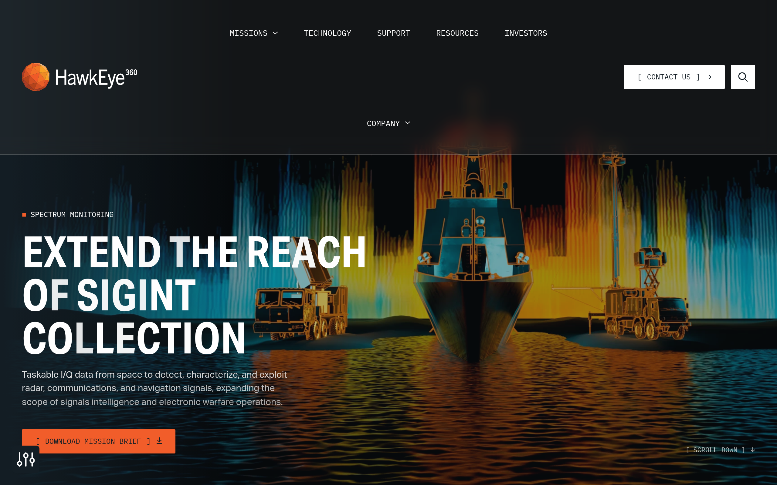
Regarding signal coverage, technical documentation from eoPortal (an authoritative third-party reference updated May 2026) describes the Software-Defined Radio core tuning from 70 MHz to 6 GHz with a 56 MHz instantaneous bandwidth. A low-noise block RF front-end extends collection to approximately 18 GHz in the Ku-band, and the antenna array spans VHF through Ku-band. HawkEye 360 does not publish an exact frequency range on its own product pages; buyers requiring a contractual specification should request it through sales.
Signal categories covered include communications (push-to-talk radio, satellite phone), navigation signals (GPS/GNSS jamming and spoofing sources), radar emissions (air defense systems, vessel navigation radar), and AIS-class maritime emissions from vessels at sea.
Products and analytics
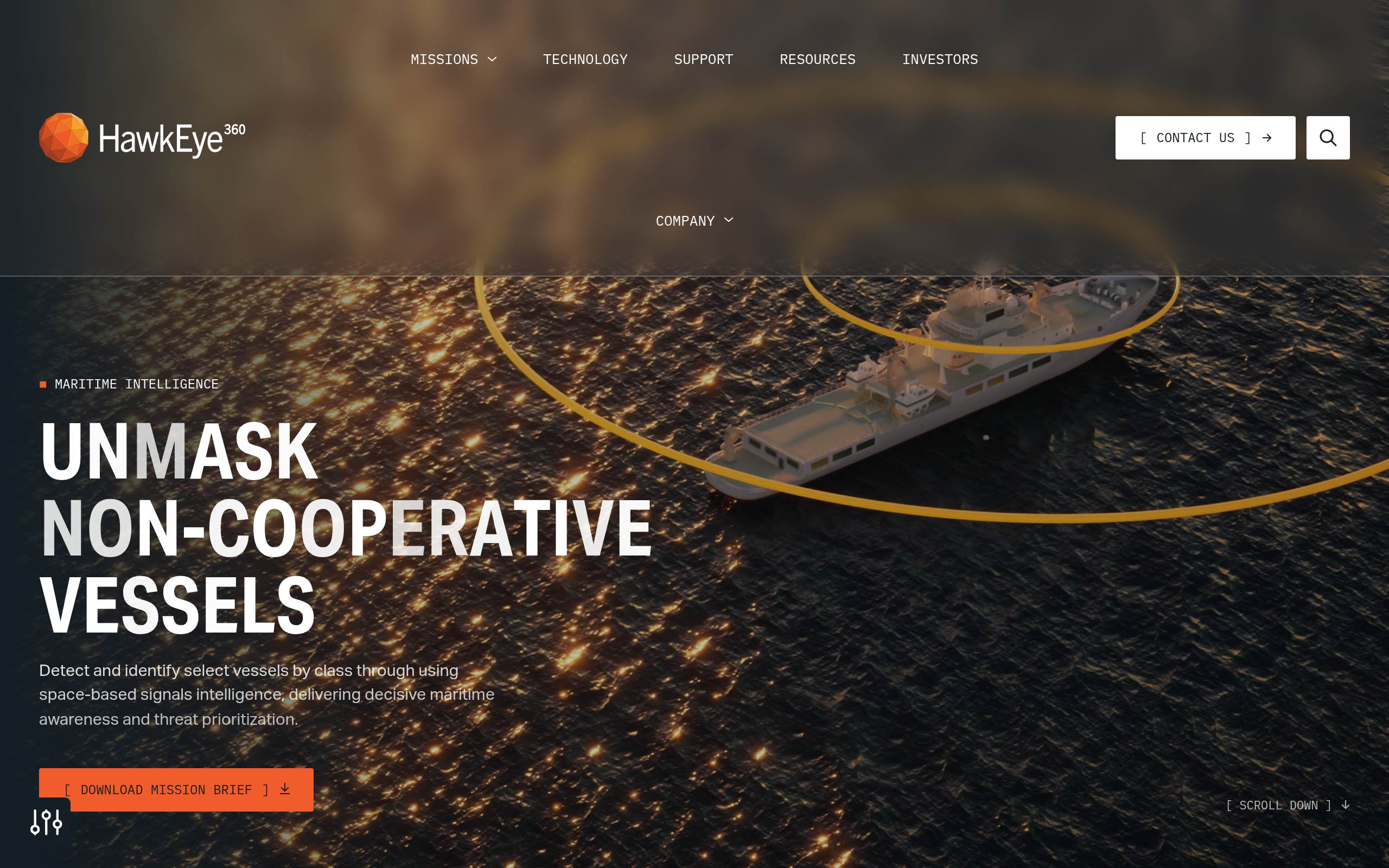
The product suite spans raw geolocation data through finished intelligence. RFGeo, launched in 2020, maps RF signal geolocations globally and was the company’s first commercial data product. RFIQ, launched in 2023, provides raw in-phase/quadrature data for analysts who need to perform their own signal exploitation. The Maritime Intelligence suite is the most built-out analytics layer: dark vessel detection via RF signature (independent of AIS self-reporting), AIS validation, vessel identification, and Vessel Custody ID.
Vessel Custody ID, launched in December 2025, uses AI to maintain tracking continuity of high-interest vessels across multiple collections regardless of AIS status. Beyond maritime, the product catalog covers Spectrum Monitoring (taskable I/Q data for radar, communications, and navigation signal profiling), GNSS Interference Detection, Air Defense Radar Monitoring, Communications Mapping, and Electronic Order of Battle mapping of adversary radar and communications systems.
The Mission Space platform provides a web-based RF geospatial intelligence analysis environment. An Esri ArcGIS plugin integrates RF intelligence directly into ArcGIS workflows for analysts who prefer to work in existing GIS tools.
Platform and access
Customers access data via daily subscription downloads, direct cloud delivery, or a Collections API that manages end-to-end order fulfillment. Tasking is available for Spectrum Monitoring via the I/Q product line. In my assessment of the platform, it is clearly designed for recurring government and enterprise program use, not episodic self-serve commercial ordering. There is no self-service marketplace, trial tier, or transparent per-area ordering workflow visible on the public site.
Pricing
HawkEye 360 publishes no price numbers anywhere on its public site. Access is via data subscription for commercial and government customers, or direct government contract. The company’s support page describes subscriptions that include program management and training support. That channel streamlines federal procurement workflows for US government entities and allied nations.
Commercial buyers require a direct engagement through [email protected] or the contact form at he360.com/contact-us/. U.S. government entities can access GPS Interference, Maritime Domain Awareness, EOB, and Communications Mapping products through the Global Data Marketplace at globaldatamarketplace.com.
| Access model | Who it applies to | Notes |
|---|---|---|
| Data subscription | Commercial and government | Daily downloads of signals intelligence via direct delivery or cloud-based access. Includes program management and training |
| Government contract | U.S. and allied defense and intelligence agencies | NRO, U.S. Navy, NGA contracts confirmed on site. Global Data Marketplace for streamlined procurement |
| No public pricing | All buyers | No price numbers published. Contact [email protected] for commercial and program pricing |
The absence of published pricing is typical for signals intelligence platforms at this level, where contract scope and data delivery arrangements both affect commercial terms. Buyers evaluating HawkEye 360 should treat the sales engagement as a procurement process, not a self-serve ordering workflow.
Who it’s for
HawkEye 360’s technology and access model are purpose-built for a specific class of buyer. The product suite makes most sense where RF intelligence has direct operational decision value and where government contracting or enterprise subscription workflows are standard.
Defense and intelligence
This is the core customer segment. ISR operators who need to detect non-cooperative emitters, build electronic orders of battle, or track air defense radar activations will find no direct commercial peer for this specific capability. The NRO, Navy, NGA, Air Force Research Laboratory, and Space Force relationships confirm that the platform is operational in real intelligence workflows. The AWS GovCloud infrastructure and Global Data Marketplace procurement channel are specifically built for this buyer segment.
Maritime domain awareness
Dark vessel detection via RF signature is the most commercially accessible use case outside the intelligence community. Vessels that disable their AIS transponders still leave radar and communications RF emissions that the constellation can detect and geolocate. The Pacific Islands Forum Fisheries Agency’s use for maritime visibility is a civilian proof point. Fisheries enforcement agencies, coast guards, and maritime insurers are the most natural commercial buyers adjacent to the defense base.
Spectrum monitoring and counter-interference
Organizations managing national or commercial spectrum allocations, or dealing with GPS jamming and spoofing threats, have a specific need for persistent space-based GNSS interference geolocation. Slingshot Aerospace’s GPS monitoring partnership for U.S. Space Force and the NASA resilient space communications contract from April 2026 illustrate that the use case extends beyond traditional defense into the commercial space domain and civil aviation.
Where the fit weakens
HawkEye 360 is not a fit for buyers who need optical, SAR, hyperspectral, or thermal imagery, or whose use cases center on land change detection, agriculture, or urban monitoring. Commercial businesses wanting to conduct site change detection should look at optical or SAR operators instead. The subscription and government-contract access model also makes it a poor fit for one-off or project-based imagery buyers who need a transparent self-serve workflow.
Strengths and limitations
HawkEye 360’s core strengths are inseparable from the TDOA/FDOA formation-flying architecture that makes passive multi-signal geolocation from LEO commercially viable:
- Pioneer and market leader in commercial space-based RF geolocation, operating since 2018 with 42+ satellites in 14 formation-flying clusters as of March 2026
- Only commercial constellation covering radar emissions, GNSS jamming sources, push-to-talk communications, and satellite phone activity simultaneously from a single platform
- Deep and sustained U.S. intelligence community integration, including NRO (since January 2022), Navy, NGA, AFRL, and Space Force, providing institutional credibility that few commercial providers can match
- NYSE public listing (HAWK, May 2026) brings SEC reporting, quarterly disclosures, and financial transparency atypical for commercial EO operators
- Vessel Custody ID (launched December 2025) shows continued product investment with AI-powered persistent vessel tracking independent of AIS status
The limitations reflect the narrow focus of a pure RF-intelligence operator and a business model that is oriented primarily toward government customers:
- RF-only coverage means no optical, SAR, hyperspectral, or thermal imagery, limiting the addressable commercial market to defense, maritime awareness, and spectrum intelligence buyers
- No published pricing, no self-serve access, and no free trial; a direct sales engagement or government contract workflow is required
- Geolocation accuracy is not published on public pages, making it difficult to evaluate fit against specific positioning requirements before a sales engagement
- Revisit frequency is described as “recurring” and “near-persistent” but no specific interval in hours is stated publicly, which limits pre-sales assessment
- ITAR and US export control considerations apply, potentially complicating access for international buyers outside allied defense frameworks
In my analysis, the fundamental trade-off is that HawkEye 360 offers a genuinely unique capability, passive global RF geolocation with no direct commercial peer, at the cost of a narrow use-case footprint and an access model that filters out most self-serve commercial buyers. For the buyers it serves, that trade-off is worth it. For everyone else, the alternatives below are more relevant.
HawkEye 360 alternatives
For buyers whose requirements extend beyond RF-only intelligence, or who need a different access model, the alternatives below represent the closest peers and adjacent options. The table draws on verified specifications from primary sources for each provider.
| Provider | Modality | Constellation | Pricing model | Key differentiator |
|---|---|---|---|---|
| HawkEye 360 | RF geolocation (radar, GNSS, comms) | 42+ satellites in formation-flying trios | Subscription or government contract. No public pricing | TDOA/FDOA multi-signal geolocation. Deep US IC relationships. NYSE-listed |
| Unseenlabs | RF geolocation (maritime-focused) | 21 BRO monosatellites | Quote-based. No public pricing | ITAR-free French operator. Kilometer-accuracy dark-vessel detection. ~300,000 km² per pass |
| Spire Global (Space Reconnaissance) | RF geolocation plus weather and ADS-B | 100+ LEMUR-2 multipurpose satellites | Quote-based or mission profile. No public pricing | Multipurpose constellation. RF detection alongside GNSS-RO weather. Hosted-payload option for custom RF missions |
| Sfera Technologies | RF/ELINT plus optical, SAR, thermal, hyperspectral | Aggregated, multi-operator | Per-km² for optical. Quote-based for RF and other modalities | Multi-sensor data aggregator with ground station network. RF data brokered alongside optical and SAR for multi-INT coverage in one workflow |
Unseenlabs is the most direct structural peer for maritime RF intelligence: a pure-play RF constellation with kilometer-level geolocation accuracy and an ITAR-free status that makes it accessible to buyers outside US-aligned procurement frameworks. Spire Global’s Space Reconnaissance product line offers TDOA/FDOA/AoA detection across VHF through X-band from a larger multipurpose constellation, and its hosted-payload option lets customers deploy custom RF SDR payloads on the LEMUR bus if the commercial product specification does not meet mission requirements.
For buyers who need RF intelligence as one input alongside optical, SAR, thermal, or hyperspectral data in a single procurement workflow, Sfera Technologies aggregates multiple sensor types through one interface with a global ground station network. That multi-INT aggregation approach reduces the vendor management overhead of buying from separate operators for each modality, and makes sense for organizations whose RF requirement is real but not their primary sensor need.
See how HawkEye 360 leads the field in our guide to the best RF intelligence providers.
Verdict
The question with HawkEye 360 is fit, not legitimacy. It is a well-capitalized, NYSE-listed company with sustained US government contracts and a commercially unique RF-geolocation capability, and for buyers inside that fit, no commercial alternative delivers the same combination of multi-signal geolocation, maritime intelligence depth, and institutional government track record.
The fit is clearest for defense and intelligence buyers who need to detect non-cooperative emitters, characterize the electromagnetic order of battle, or monitor maritime vessels by RF signature rather than AIS self-reporting. Coast guards, fisheries enforcement agencies, and spectrum management organizations are also natural buyers. The NYSE listing and SEC reporting from the May 2026 IPO add financial transparency most commercial EO operators cannot match.
Outside that buyer profile, the picture changes. There is no self-serve access, no published pricing, and no way to evaluate fit against specific geolocation accuracy requirements without entering a sales process. Commercial maritime buyers with limited budgets may find Unseenlabs’ ITAR-free model easier to engage without a government procurement framework.
HawkEye 360 is worth pursuing if RF geolocation is operationally central to your mission and your procurement path supports a government-style contract engagement. For broader needs or more self-directed access requirements, the alternatives above are a better starting point.
Frequently asked questions
Below are answers to the most common buyer questions about HawkEye 360, each pointing to where the full detail lives in this review.
How does HawkEye 360 work?
HawkEye 360 flies clusters of three satellites in close formation. When a ground-based emitter transmits a radio signal, the three satellites record its arrival time and frequency from slightly different orbital positions. TDOA and FDOA calculations across those differences passively geolocate the emitter without any active transmission. Full technical detail is in “Data and capabilities.”
Is HawkEye 360 a legit company?
Yes. HawkEye 360, Inc. is publicly listed on the NYSE (ticker: HAWK) since May 2026 and holds confirmed contracts with the NRO, U.S. Navy, and NGA. The public listing brings SEC filings and quarterly reporting that make it one of the most financially transparent commercial EO operators available. The full track record is in “Is HawkEye 360 legit?“
Who owns HawkEye 360?
HawkEye 360, Inc. is publicly traded (NYSE: HAWK) since its May 2026 IPO. The company was founded in 2015 by John Serafini, who remains CEO. Pre-IPO investors included NightDragon, Center15 Capital, and Lockheed Martin Ventures, among others. Ownership and funding details are in “Is HawkEye 360 legit?“
How much does HawkEye 360 cost?
No pricing is published. Access is via data subscription or government contract; no self-serve pricing, free tier, or public rate card exists. U.S. government buyers can access select products via the Global Data Marketplace. Commercial buyers need to contact [email protected] directly. Pricing detail is in “Pricing.”
Does HawkEye 360 have a free tier?
No. There is no free tier, no trial, and no self-serve evaluation pathway on the public site. Access requires a direct sales engagement or government contract. See “Pricing.”
When was HawkEye 360 founded?
HawkEye 360 was founded in 2015 by John Serafini in Herndon, Virginia. The company launched its first three Pathfinder satellites in 2018, proving commercial RF geolocation from space for the first time. Background is in “About HawkEye 360.”
Where is HawkEye 360 based?
HawkEye 360 is headquartered in Herndon, Virginia, USA. The legal entity is HawkEye 360, Inc., incorporated under Virginia law. The contact page at he360.com/contact-us lists Herndon as the primary operating location. Details are in “About HawkEye 360.”
Who are HawkEye 360’s customers?
Named customers confirmed on the company’s public newsroom include the National Reconnaissance Office, the U.S. Navy (INDOPACOM), the NGA, U.S. Air Force Research Laboratory, U.S. Space Force, NASA, Slingshot Aerospace, General Atomics Integrated Intelligence, Windward, Airbus, and the Pacific Islands Forum Fisheries Agency. Full customer context is in “Is HawkEye 360 legit?“
How does HawkEye 360 make money?
HawkEye 360 generates revenue through data subscriptions (daily delivery of signals intelligence products) and government contracts. The Global Data Marketplace provides a streamlined government procurement channel for US and allied entities. The subscription model and contract structure are described in “Pricing.”
What are the best alternatives to HawkEye 360?
For pure RF maritime intelligence with an ITAR-free option, Unseenlabs is the closest peer. For a larger multipurpose RF constellation with a hosted-payload option, Spire Global’s Space Reconnaissance line is relevant. Buyers needing RF as one component of a multi-sensor intelligence workflow should evaluate Sfera Technologies, which aggregates RF alongside optical, SAR, thermal, and hyperspectral data through a single interface. A full comparison is in “HawkEye 360 alternatives.”

My passions are Earth Observation and Satellites, and my profession is Data Analysis. I combine both within ObservationData.com to show you the use cases of Earth Observation, to help you find the right provider, and to share your experiences.