 UP42 is a Berlin-based geospatial data marketplace and analytics platform, aggregating 53 collections from 28-plus source operators across satellite, aerial, drone, and derived data modalities, without operating a single satellite itself.
It is an established, active business: founded by Airbus in 2019 and since July 2025 owned by Neo Space Group (NSG), with a commercial and government client base spanning agriculture, infrastructure, and disaster response.
This review breaks down what UP42’s catalog actually covers, how the credit pricing works, and where the platform fits well or falls short, so you can decide whether it is the right procurement layer for your data workflow.
Table of Contents
Key Takeaways
- UP42 suits teams that need one account spanning optical, SAR, and hyperspectral data without separate operator contracts
- The standout edge is a credit wallet with instant AOI-based quotes across 53 collections including tasking
- After weighing all the strengths and limitations, the core caveat is that credits expire after 24 months and are non-refundable
About UP42
UP42 is the commercial brand of UP42 GmbH, a Berlin-based entity founded in 2019 in the Kreuzberg district. The platform was built as an Airbus initiative to create a single commercial distribution layer for geospatial data, consolidating catalog access, satellite tasking, aerial and drone data, processing algorithms, and data delivery into one credit-based account. The key facts below are drawn from UP42’s published pages as of May 2026.
| Name | UP42 |
|---|---|
| Website | up42.com |
| Legal name | UP42 GmbH |
| Address | Ohlauer Str. 43, 10999 Berlin, Germany |
| Founded | 2019 |
| Ownership | Subsidiary of Neo Space Group (NSG, a PIF company of Saudi Arabia, acquired from Airbus July 2025) |
| Leadership | Sean Wiid (Managing Director) |
| Products & data | Catalog data access (archive and tasking), satellite tasking across multiple operators, aerial and drone data, processing algorithms (upsampling, pansharpening, change detection), STAC-compatible data delivery, REST API and Python SDK, free open data (Sentinel-2, Landsat 8) |
| Pricing | Credit-based (100 credits = €1); minimum order €100; 24-month validity; instant AOI quotes in the console; volume bonus at 1M+ credits |
| Languages | English |
UP42 does not own or operate satellites. The platform’s architecture is a brokerage layer connecting buyers to third-party operators, with Airbus-managed infrastructure handling billing, compliance, and data delivery. The 53 collections span optical, SAR, thermal, hyperspectral, elevation, lidar, and derived products, with the catalog growing as new operator agreements are signed.
Is UP42 legit?
UP42 is a legitimate, professionally operated commercial platform. The legal entity is registered in Berlin’s Handelsregister (HRB 204574 B), the platform carries SOC-2 Type II and GDPR compliance, and it runs distribution agreements with named operators including Airbus, Planet, ICEYE, Capella Space, and Umbra. The company has been operating since 2019 and publishes case studies with named clients. For a procurement team running vendor due diligence, these are meaningful credibility checkpoints.
Ownership and structure
UP42 was founded in 2019 as an Airbus initiative. In December 2024, Airbus Defence and Space announced the sale of UP42 to Neo Space Group (NSG), and the acquisition completed on July 10, 2025. NSG is a PIF (Public Investment Fund of Saudi Arabia) company and Saudi Arabia’s leading commercial space services provider. The managing director, Sean Wiid, continues in his role and has confirmed operational continuity for existing customers.
The NSG ownership removes the platform from Airbus’s product roadmap decisions. NSG’s PIF backing is one of the world’s largest sovereign wealth funds, providing a stable ownership foundation. The platform’s strategic direction now tracks NSG’s Vision 2030 priorities rather than Airbus’s commercial EO portfolio, which is a meaningful context shift for buyers evaluating long-term roadmap alignment.
Track record and platform trust
A geospatial marketplace built on Airbus infrastructure in 2019 has had time to accumulate a real operational record. The SOC-2 Type II certification matters for enterprise procurement, where data security and access-control governance are formal gates. UP42 performs a compliance screening on all new accounts at first credit purchase, and some data collections carry a secondary provider-approval step of up to three working days.
Both mechanisms reflect the kind of commercial controls that serious buyers expect from an EO procurement platform, even if they can slow first-order timelines.
In my analysis of the platform’s operator network, the breadth of distribution agreements with Capella, ICEYE, Umbra, Pixxel, and Wyvern indicates an active and growing operation. UP42 publishes named case studies covering organizations including Overstory, LiveEO, KfW, and AiDash, which gives procurement teams real-world deployment evidence for use-case validation.
Compliance and data rights
Data licensing on UP42 follows the terms of each source operator, not a single unified UP42 license. The Platform Services Agreement governs billing and delivery, but product-level usage rights including restrictions on defense applications or re-distribution vary by collection and are governed by each operator’s end-user license agreement. For regulated or sensitive use cases, reviewing the per-collection terms before purchase is essential.
Data and capabilities
UP42’s catalog as of May 2026 covers 53 collections from 28-plus source operators. The breadth is genuinely wide for a single procurement platform: most aggregators concentrate on high-resolution optical and SAR, while UP42 has extended into thermal infrared, greenhouse-gas monitoring, hyperspectral, lidar, and AIS maritime data. For a buyer who needs multiple modalities in the same budget cycle, that reduces the number of separate procurement tracks considerably.
Data types and modalities
Optical imagery spans from sub-meter satellite (Airbus Pléiades Neo natively at 30 cm, with 15 cm pan-sharpened products available) down to 1-cm aerial data from Getmapping and Globhe drone collections. The SAR catalog includes Capella Space, ICEYE, TerraSAR-X, Umbra, and Synspective StriX, covering X-band spotlight modes at 25 cm. Thermal collections include SatVu HotSat-1 at 3.5 m MWIR and Constellr at 10 m TIR. GHGSat sits alongside them at 25 m, though it is not a thermal imager: it measures greenhouse-gas concentration by shortwave-infrared absorption spectroscopy. Together they are a combination that is rare in marketplace catalogs.
Hyperspectral is covered by Pixxel at 5.36 m and Wyvern Dragonette-1 at 5.30 m, both with 2-day revisit and support for archive and tasking. Elevation products range from 5.5 cm Vexcel aerial DEMs to PlanetDEM at 30 m. AIS maritime data from Spire rounds out the non-imagery derived product offering.
Tasking and archive access
UP42 supports both archive catalog orders and new-acquisition tasking from multiple operators, including Airbus (Pléiades, Pléiades Neo), Planet (SkySat), ICEYE, Capella Space, and Umbra. Tasking runs through the web console or API, with operator-specific constraints on minimum area and delivery time. Open data including Sentinel-2 and Landsat 8 is available at zero credits, useful for baseline or large-area monitoring tasks where commercial resolution is not required.
Processing algorithms covering co-registration, upsampling, pansharpening, and change detection are available within the same platform, reducing the need for a separate analytics environment.
Platform and API
The developer layer includes a REST API at developer.up42.com and a Python SDK. The web console at console.up42.com supports AOI-based search, instant price quotes, tasking management, and billing. Data delivery is STAC-compatible, aligning with current geospatial metadata interoperability standards, and RBAC is available for teams managing shared budgets and projects across an organization. The platform does not currently list a cloud marketplace presence on AWS, Google Earth Engine, or Azure.
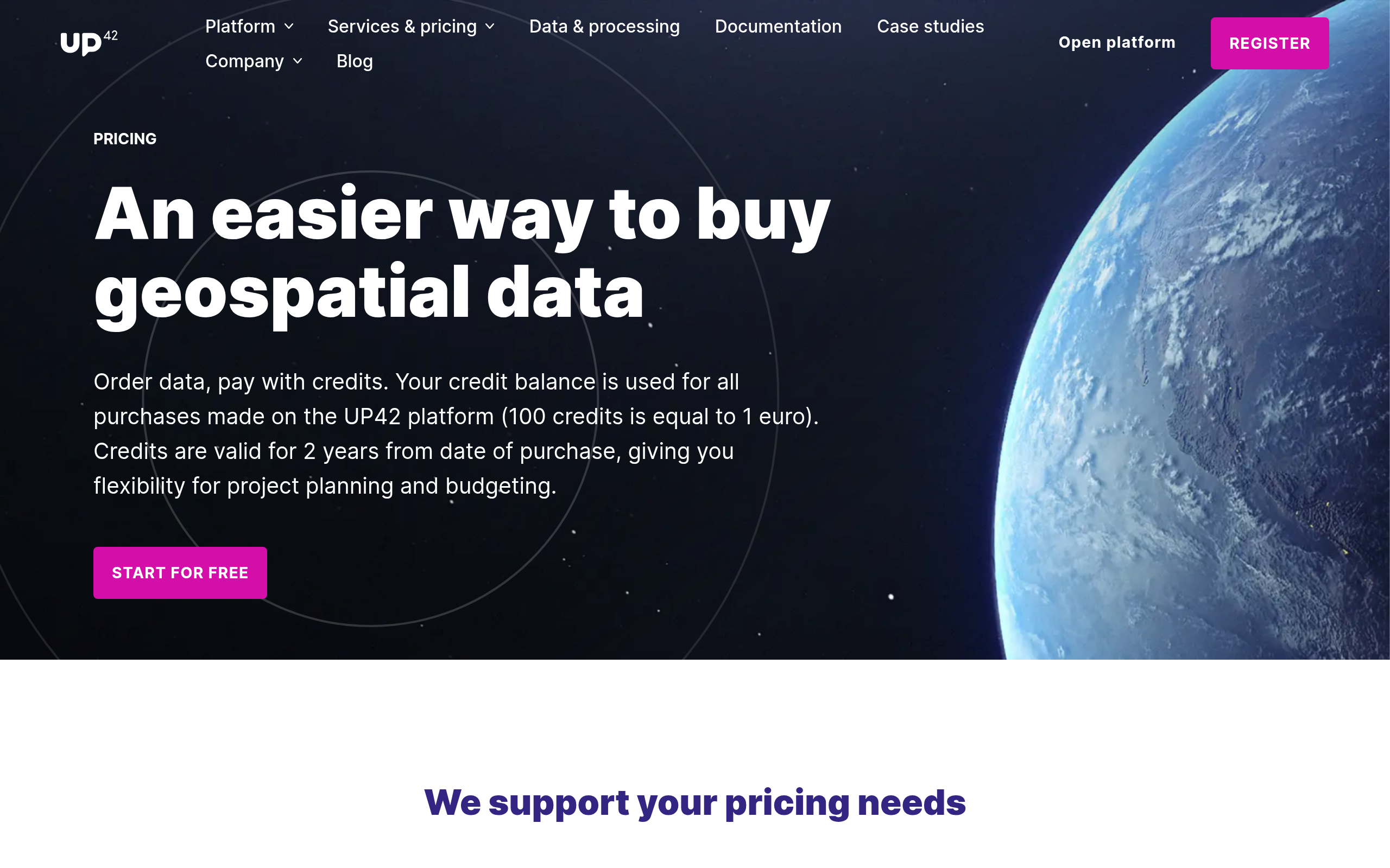
Pricing
UP42 uses a credit system denominated in euros: 100 credits per euro, meaning a purchase of 10,000 credits costs €100. There is no subscription, and credits are purchased on demand and consumed as you order. The AOI-based instant quote in the console gives you an exact cost before committing, a practical transparency edge over quote-only competitors. The main constraints are the 10,000 credit minimum order and the 24-month validity window after which unused credits expire without refund.
| Tier | Rate | Minimum order | Notes |
|---|---|---|---|
| Standard credits | 100 credits = €1 | 10,000 credits (€100) | 24-month validity from purchase date, FIFO consumption, non-refundable |
| Volume bonus | 100 credits = €1 | 1,000,000 credits (€10,000) | 5% bonus credits on orders at this threshold |
| Free open data | 0 credits | None | Sentinel-2 and Landsat 8 at zero credit cost |
Each collection page in the UP42 documentation publishes a starting credit rate, from 200 credits per km² for SPOT archive to 103,500 credits per scene for Synspective tasking. What those pages do not give you is your actual cost, which depends on resolution tier and AOI size, and you get that figure from the instant console quote before committing. Credit card is the stated self-serve payment method. Approval gating for certain commercial products can delay a first-time purchase by up to three working days, which is worth building into project timelines.
Who it’s for
UP42 fits best when your work spans more than one modality or more than one source operator, and you want to avoid managing separate contracts for each. The credit wallet rewards buyers who order often enough to consume credits within 24 months. For a team working across agriculture monitoring, infrastructure assessment, and maritime surveillance in the same budget cycle, the ability to draw all three data types from one account is a tangible simplification.
Government and defense teams in GDPR jurisdictions will find the Berlin-based Airbus infrastructure familiar territory from a compliance standpoint. The SOC-2 Type II certification covers a standard enterprise procurement gate, and the compliance-screening step at account creation aligns with the platform’s positioning toward professional institutional buyers rather than casual consumer use.
Where UP42 is less competitive is for single-modality buyers who consistently use one operator’s data. If your entire workflow runs on Planet PlanetScope or Airbus Pléiades Neo, ordering direct often gives deeper account features, priority support, and volume pricing that a marketplace layer cannot replicate. The credit model is also not designed for very low-frequency buyers: a €100 minimum order that expires after 24 months leaves unused value on the table if your data needs are occasional.
Strengths and limitations
Based on an analysis of UP42’s catalog, pricing, and platform documentation, the following points stand out for a buying decision.
- 53 collections across optical, SAR, thermal, hyperspectral, elevation, lidar, and AIS in one account
- Tasking supported from multiple operators (Airbus, Planet, ICEYE, Capella, Umbra) via a single interface
- Instant AOI-based price quotes before purchase, with no quote-only gatekeeping for self-serve orders
- Free Sentinel-2 and Landsat 8 access included at zero credits, useful for baseline and large-area work
- SOC-2 Type II and GDPR compliance; Airbus-backed infrastructure with professional SLAs
- Credits expire after 24 months and are non-refundable, penalizing irregular usage patterns
- €100 minimum order creates friction for one-off or very low-volume buyers
- Per-collection pricing is not published; you need to log in and run a console quote
- Some commercial products require provider approval taking up to three working days before purchase can complete
- New ownership under Saudi Arabia’s Neo Space Group (NSG/PIF) introduces a different strategic orbit than the original Airbus parentage
The two lists above cover the points that matter most for a procurement decision. Deeper discussion of each is woven through the Data, Pricing, and Legit sections above.
UP42 alternatives
If UP42’s credit model or catalog mix does not match your workflow, several platforms cover similar aggregator ground with different mechanics.
| Platform | Model | Catalog breadth | Pricing model |
|---|---|---|---|
| SkyFi | Imagery marketplace (US) | Optical, SAR, aerial, open data; 150-plus satellites | Pay-per-image, no contract; optical archive from $15/image |
| Sentinel Hub | Cloud-native API for satellite archive (Sinergise / Planet) | Sentinel, Landsat, MODIS, commercial collections; deep historical archive | Subscription tiers; pay-as-you-go API calls |
| Geocento EarthImages | Multi-supplier ordering platform (UK) | 250-plus satellites, 20-plus suppliers; optical, SAR, hyperspectral, night imagery | Quote-based; instant estimated prices in EarthImages console |
| Apollo Mapping | Reseller and imagery broker (US) | 60-plus satellites from 19 operators via Image Hunter; Vantor, Airbus, Planet, and more | Per-km² or per-scene pricing; quote via 4-hour response model |
| Sfera Technologies | Multi-operator data aggregator with satellite tasking | Optical, SAR, thermal, hyperspectral, and RF from a global operator network | Transparent per-km² pricing; optical from ~€4/km² |
SkyFi is the closest structural match for self-serve buyers: no subscription, pay-per-image, and transparent pricing before checkout, though it lacks UP42’s thermal or hyperspectral depth. Sentinel Hub is the right fit if your workflow is API-heavy and centered on Sentinel and Landsat archive rather than tasking. Geocento covers a comparable multi-supplier range with a more service-oriented procurement model.
Apollo Mapping suits buyers who want hands-on brokerage with named specialist support rather than a self-serve platform. Sfera Technologies operates a comparable multi-operator aggregation model with global coverage across optical, SAR, thermal, hyperspectral, and RF, and is worth evaluating if platform independence from any single parent is a procurement consideration.
UP42 also appears in our roundup of the best satellite imagery aggregators, measured against seven peers.
Verdict
The question for UP42 is fit, not legitimacy. With five years of operation, SOC-2 Type II certification, distribution agreements with the major commercial satellite operators, and now NSG backing, there is nothing about UP42’s credibility that needs interrogating. What matters is whether the credit model and catalog mix match how your team actually buys data.
UP42 earns a clear recommendation for teams that regularly order across multiple modalities, particularly when optical, SAR, and a newer data type like thermal, hyperspectral, or GHG all factor into the same budget cycle. The instant AOI quote system, the free Sentinel-2 and Landsat-8 access, and the breadth of the operator network are genuine operational advantages over managing multiple direct contracts. The new NSG parentage is worth monitoring: strong infrastructure continuity under Sean Wiid, but a roadmap now aligned to Saudi Arabia’s Vision 2030 space priorities rather than Airbus’s commercial EO portfolio.
For low-frequency or single-modality buyers, the credit expiry and minimum order constraints make UP42 a less efficient choice than a pay-per-image competitor. For buyers who need full pricing transparency before creating an account, the console-only quote model adds friction. With those caveats clear, UP42 is a well-built platform that justifies serious evaluation for multi-source EO procurement.
Frequently asked questions
Here are answers to the most common buyer questions about UP42, its platform, and its pricing.
How does UP42 work?
UP42 is a credit-based marketplace: you purchase credits (100 credits = €1), then use those credits to order data from any of 53 collections spanning satellite, aerial, drone, and derived products. The web console and REST API both support catalog search, price estimation, and tasking. Learn more in the section “Data and capabilities.”
Is UP42 a legitimate company?
Yes. UP42 GmbH is a registered German company (HRB 204574 B, Charlottenburg), operating since 2019, now owned by Neo Space Group (NSG), with SOC-2 Type II and GDPR compliance. Full details in “Is UP42 legit?“
Who owns UP42?
As of July 2025, UP42 is owned by Neo Space Group (NSG), a PIF company of Saudi Arabia. It was founded in 2019 by Airbus, which completed the sale to NSG on July 10, 2025. Sean Wiid continues as Managing Director. See “Ownership and structure.”
How much does UP42 cost?
Credits cost €0.01 each (minimum order 10,000 credits = €100), and per-collection prices vary by modality, resolution, and AOI size. An instant quote is generated in the UP42 console before any purchase. Sentinel-2 and Landsat 8 are available at zero credit cost. Details in the “Pricing” section.
Does UP42 have a free tier?
There is no subscription free tier, but UP42 provides free access to open data including Sentinel-2 and Landsat 8 at zero credit cost. A free account can be created to access the console and run price quotes without purchasing credits first.
When was UP42 founded?
UP42 was founded in 2019 in the Kreuzberg district of Berlin, as an Airbus-backed initiative to consolidate commercial EO data procurement into a single platform. See “About UP42.”
Where is UP42 based?
UP42 GmbH is headquartered at Ohlauer Str. 43, 10999 Berlin, Germany. It is a German-registered entity operating under German and EU law, including GDPR.
What are the best UP42 alternatives?
SkyFi, Sentinel Hub, Geocento EarthImages, and Apollo Mapping are the main alternatives, each with a different balance of catalog breadth, pricing model, and service approach. A comparison table is in the section “UP42 alternatives.”

My passions are Earth Observation and Satellites, and my profession is Data Analysis. I combine both within ObservationData.com to show you the use cases of Earth Observation, to help you find the right provider, and to share your experiences.